Medium airport · United States

Space Coast Regional AirportKTIX
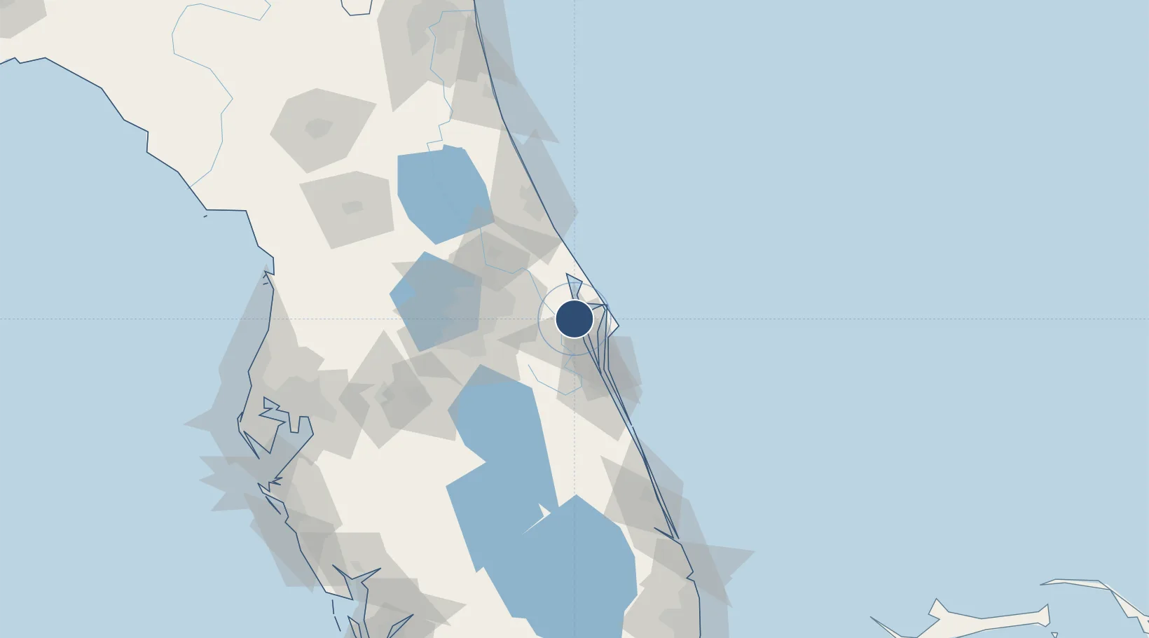
28.5148°, -80.7992°
7,319 ft
Longest runway
2
Runways
34 ft
Elevation

Runway & Layout

Space Coast Regional Airport runway & taxiway layout
Runway & taxiway layout — OpenStreetMap (ODbL) / OurAirports

Radio Frequencies

ATIS
120.625 MHz
TWR
118.9 MHz
GND
121.85 MHz
CTAF
118.9 MHz
A/D
134.95 MHz
ORLANDO APP/DEP
RDO
123.6 MHz
ST PETERSBURG RDO
UNIC
122.95 MHz
UNICOM
OurAirports

Navaids

GGL NDB Geiger Lake 375 kHz
OurAirports

Runways · 2

RunwayDimensions SurfaceTrue headingLit
18/36 7,319 × 150ft Asphalt 179°
09/27 5,000 × 100ft Asphalt 089°
OurAirports

Airport Specifications

IATA code
TIX
OurAirports
ICAO code
KTIX
OurAirports
Airport class
Medium airport
OurAirports
Scheduled service
No
OurAirports
Runway surface
Asphalt
OurAirports
Served city
Titusville
OurAirports

Location

Location of KTIX
Natural Earth 10m (public domain) · Florida · KTIX · 28.51, -80.80GoogleOSMYandex

Nearby Logistics Neighbours

Airports
  1. 1Space Florida Launch and Landing Facility15 km
  2. 2Cape Canaveral SFS Skid Strip23 km
  3. 3Patrick Space Force Base36 km
  4. 4Melbourne Orlando International Airport48 km
  5. 5Orlando International Airport51 km
Nearest neighbours — logibook spatial index (haversine) over the source coordinates
Cities
  1. 1Indian River City6 km
  2. 2Mims18 km
  3. 3John F Kennedy Space Center/Cape Canaveral20 km
  4. 4Port Canaveral22 km
  5. 5Cocoa Beach29 km
Nearest neighbours — logibook spatial index (haversine) over the source coordinates
Ports
  1. 1Canaveral Harbor27 km
  2. 2Fort Pierce126 km
  3. 3St Augustine162 km
  4. 4Tampa175 km
  5. 5Sankt-Peterburg197 km
Nearest neighbours — logibook spatial index (haversine) over the source coordinates
Trade Zones
  1. 1FTZ No. 136 Brevard County50 km
  2. 2FTZ No. 250 Seminole County61 km
  3. 3FTZ No. 042 Orlando70 km
  4. 4FTZ No. 198 Volusia County85 km
  5. 5FTZ No. 218 St. Lucie County128 km
Nearest neighbours — logibook spatial index (haversine) over the source coordinates
DatabookThe Record of Consolidated Knowledge
United States beyond logistics?
Browse databook

All Sources

AirportsOurAirports
Public domain
Portsthe NGA World Port Index
Public domain (US gov)
LocationsUN/LOCODE
UN/LOCODE — free
Trade Zonesthe World Bank SEZ database
CC BY 4.0
Trade ZonesOpen Zone Map
CC BY
InfrastructureOpenStreetMap
ODbL 1.0
← United States airports