Foreign Trade Zone · United States

FTZ No. 136 Brevard County Active
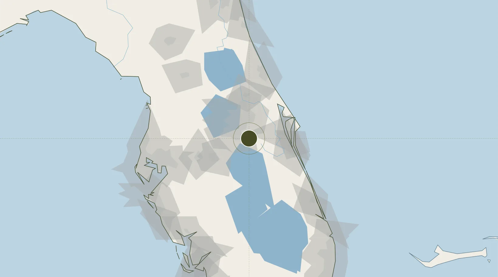
28.3056°, -81.2466°
75.6 km
Nearest port
15.1 km
Nearest airport

Gateway access

Nearest neighbours — logibook spatial index (haversine) over the source coordinates

Zone profile

Zone type
Foreign Trade Zone
Open Zone Map
Region
Florida
Open Zone Map
Status
Active
Open Zone Map
Management
Public
Open Zone Map
Operator
Canaveral Port Authority
Open Zone Map
Legal framework
Foreign-Trade Zones Act
Open Zone Map

Location

Location of ozm-4802
Natural Earth 10m (public domain) · Florida · ozm-4802 · 28.31, -81.25GoogleOSMYandex

Nearby Logistics Neighbours

Ports
  1. 1Canaveral Harbor76 km
  2. 2Tampa126 km
  3. 3Fort Pierce131 km
  4. 4Sankt-Peterburg147 km
  5. 5Port Manatee150 km
Nearest neighbours — logibook spatial index (haversine) over the source coordinates
Airports
  1. 1Orlando International Airport15 km
  2. 2Kissimmee Gateway Airport19 km
  3. 3Orlando Executive Airport28 km
  4. 4Space Coast Regional Airport50 km
  5. 5Orlando Sanford International Airport52 km
Nearest neighbours — logibook spatial index (haversine) over the source coordinates
Cities
  1. 1Bay Lake30 km
  2. 2Maitland37 km
  3. 3Oviedo40 km
  4. 4Ocoee42 km
  5. 5Winter Springs42 km
Nearest neighbours — logibook spatial index (haversine) over the source coordinates
Trade Zones
  1. 1FTZ No. 042 Orlando32 km
  2. 2FTZ No. 250 Seminole County50 km
  3. 3FTZ No. 198 Volusia County82 km
  4. 4FTZ No. 215 Sebring97 km
  5. 5FTZ No. 218 St. Lucie County124 km
Nearest neighbours — logibook spatial index (haversine) over the source coordinates
DatabookThe Record of Consolidated Knowledge
United States beyond logistics?
Browse databook

All Sources

Trade ZonesOpen Zone Map
CC BY
Portsthe NGA World Port Index
Public domain (US gov)
AirportsOurAirports
Public domain
LocationsUN/LOCODE
UN/LOCODE — free
← United States trade zones