Transport Functions
Port
Rail
Road
Hub Profile
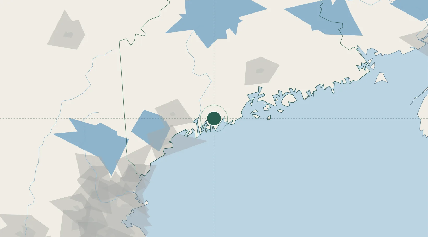
Place type
Populated place
Region
Maine
Population
667
Time zone
America/New_York
Elevation
9 m
Location
Nearby Logistics Neighbours
Cities
- 1Friendship17 km
- 2Dresden18 km
- 3Boothbay Harbor22 km
- 4Tenants Harbour27 km
- 5Bath27 km
Ports
- 1Friendship18 km
- 2South Bristol19 km
- 3Boothbay Harbor19 km
- 4Bath26 km
- 5Thomaston28 km
Airports
- 1Knox County Regional Airport35 km
- 2Brunswick Executive Airport36 km
- 3Augusta State Airport38 km
- 4Witherspoons Airport54 km
- 5Matinicus Island Airport54 km
Trade Zones
- 1FTZ No. 263 Auburn54 km
- 2FTZ No. 186 Waterville58 km
- 3FTZ No. 058 Bangor103 km
- 4FTZ No. 081 Portsmouth152 km
- 5FTZ No. 027 Boston230 km
DatabookThe Record of Consolidated Knowledge
United States beyond logistics?