Transport Functions
Port
Road
Multimodal
Hub Profile
Region
ME
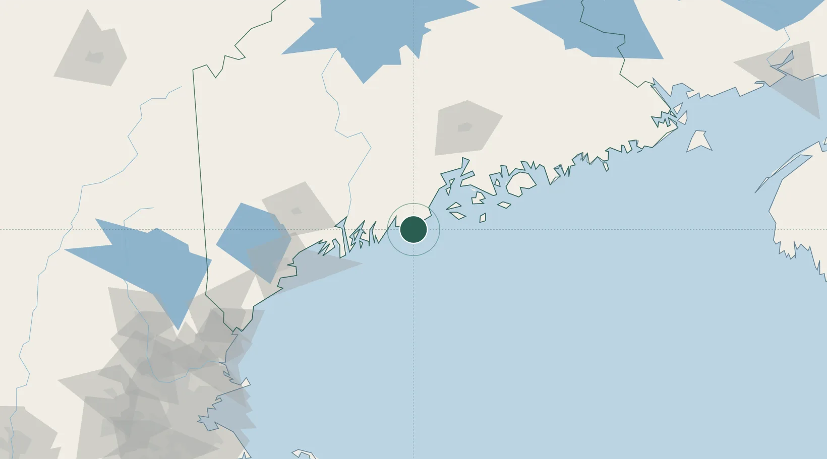
Location
Nearby Logistics Neighbours
Cities
- 1Saint George8 km
- 2Spruce Head10 km
- 3Friendship10 km
- 4Newcastle27 km
- 5Rockport28 km
Ports
- 1Friendship10 km
- 2Thomaston13 km
- 3Rockland19 km
- 4South Bristol28 km
- 5Rockport29 km
Airports
- 1Knox County Regional Airport15 km
- 2Matinicus Island Airport27 km
- 3Vinalhaven Airport35 km
- 4Witherspoons Airport35 km
- 5Islesboro Airport46 km
Trade Zones
- 1FTZ No. 186 Waterville76 km
- 2FTZ No. 263 Auburn81 km
- 3FTZ No. 058 Bangor101 km
- 4FTZ No. 081 Portsmouth165 km
- 5FTZ No. 027 Boston238 km
DatabookThe Record of Consolidated Knowledge
United States beyond logistics?