UN/LOCODE hub · United States
USFSP
Friendship
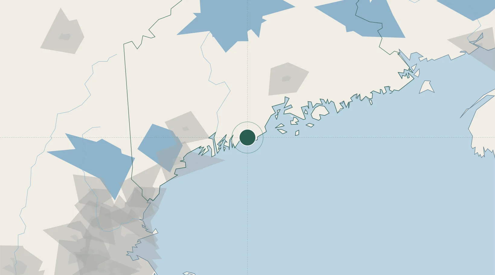
43.9833°, -69.3333°
1,252
Population
2
Transport functions
Transport Functions
Port
Road
Hub Profile
Place type
Populated place
Region
Maine
Population
1,252
Time zone
America/New_York
Elevation
36 m
Location
Nearby Logistics Neighbours
Cities
- 1Tenants Harbour10 km
- 2Saint George13 km
- 3Newcastle17 km
- 4Spruce Head17 km
- 5Union25 km
Ports
- 1Thomaston15 km
- 2South Bristol22 km
- 3Rockland23 km
- 4Boothbay Harbor24 km
- 5Rockport31 km
Airports
- 1Knox County Regional Airport21 km
- 2Matinicus Island Airport37 km
- 3Witherspoons Airport41 km
- 4Vinalhaven Airport42 km
- 5Islesboro Airport49 km
Trade Zones
- 1FTZ No. 186 Waterville69 km
- 2FTZ No. 263 Auburn71 km
- 3FTZ No. 058 Bangor101 km
- 4FTZ No. 081 Portsmouth160 km
- 5FTZ No. 027 Boston235 km
DatabookThe Record of Consolidated Knowledge
United States beyond logistics?