UN/LOCODE hub · United States
USD2R

Dresden

44.0667°, -69.7500°
1
Transport functions

Transport Functions

Multimodal
UN/LOCODE

Hub Profile

Place type
Populated place
GeoNames
Region
New York
GeoNames
Time zone
America/New_York
GeoNames
Elevation
42 m
GeoNames

Location

Location of USD2R
Natural Earth 10m (public domain) · New York · USD2R · 44.07, -69.75GoogleOSMYandex

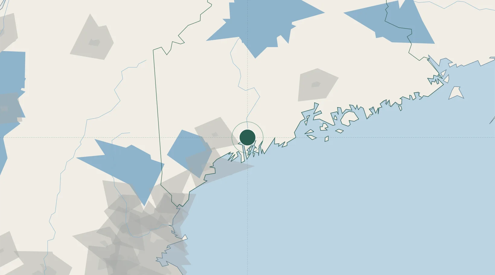
Nearby Logistics Neighbours

Cities
  1. 1Newcastle18 km
  2. 2Bath19 km
  3. 3Boothbay Harbor26 km
  4. 4Lisbon Falls26 km
  5. 5Lisbon28 km
Nearest neighbours — logibook spatial index (haversine) over the source coordinates
Ports
  1. 1Bath18 km
  2. 2Gardiner19 km
  3. 3Boothbay Harbor26 km
  4. 4South Bristol27 km
  5. 5Augusta28 km
Nearest neighbours — logibook spatial index (haversine) over the source coordinates
Airports
  1. 1Brunswick Executive Airport25 km
  2. 2Augusta State Airport29 km
  3. 3Knox County Regional Airport52 km
  4. 4Portland International Jetport65 km
  5. 5Witherspoons Airport70 km
Nearest neighbours — logibook spatial index (haversine) over the source coordinates
Trade Zones
  1. 1FTZ No. 263 Auburn37 km
  2. 2FTZ No. 186 Waterville53 km
  3. 3FTZ No. 058 Bangor111 km
  4. 4FTZ No. 081 Portsmouth143 km
  5. 5FTZ No. 027 Boston224 km
Nearest neighbours — logibook spatial index (haversine) over the source coordinates
DatabookThe Record of Consolidated Knowledge
United States beyond logistics?
Browse databook

All Sources

LocationsUN/LOCODE
UN/LOCODE — free
Portsthe NGA World Port Index
Public domain (US gov)
AirportsOurAirports
Public domain
Trade Zonesthe World Bank SEZ database
CC BY 4.0
Trade ZonesOpen Zone Map
CC BY
← United States locations