Medium airport · United States
Bob Baker Memorial AirportPAIK
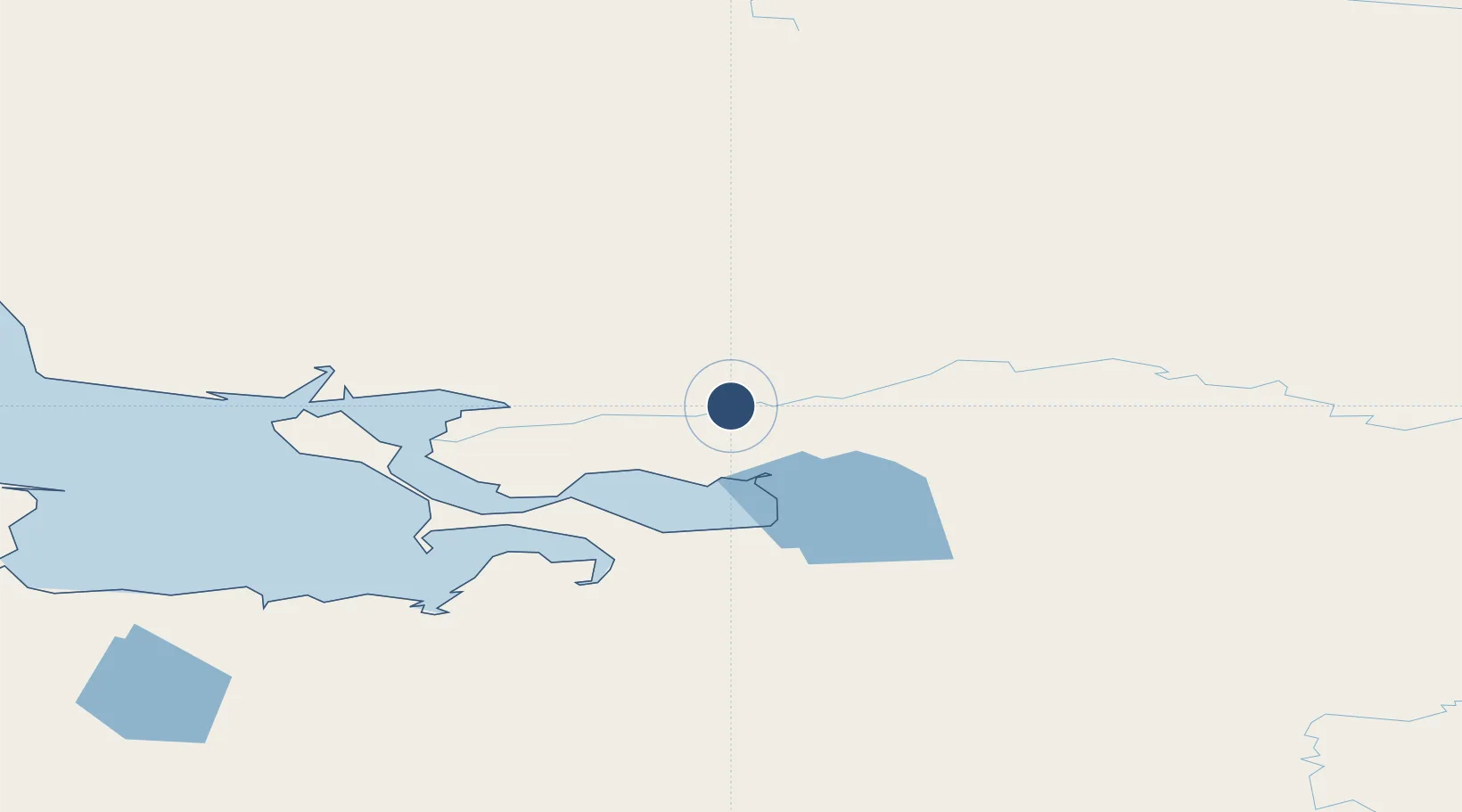
66.9761°, -160.4390°
4,000 ft
Longest runway
1
Runways
166 ft
Elevation
Runway & Layout

Radio Frequencies
CTAF
122.7 MHz
CNTR
119.2 MHz
ANCHORAGE CNTR
Runways · 1
| Runway | Dimensions | Surface | True heading | Lit |
|---|---|---|---|---|
| 07/25 | 4,000 × 75ft | Gravel | 082° | ✓ |
Airport Specifications
IATA code
IAN
ICAO code
PAIK
Airport class
Medium airport
Scheduled service
Yes
Runway surface
Gravel
Served city
Kiana
Location
Nearby Logistics Neighbours
Airports
- 1Robert (Bob) Curtis Memorial Airport31 km
- 2Selawik Airport46 km
- 3Ralph Wien Memorial Airport95 km
- 4Ambler Airport113 km
- 5Buckland Airport115 km
Cities
- 1Sledge Island382 km
- 2Uelen424 km
- 3Lavrentiya496 km
- 4Point Barrow502 km
- 5Provideniya, Bukhta654 km
Ports
- 1Kotzebue94 km
- 2Deering142 km
- 3Shishmaref262 km
- 4Solomon325 km
- 5Unalakleet344 km
Trade Zones
- 1FTZ No. 195 Fairbanks623 km
- 2FTZ No. 160 Anchorage816 km
- 3FTZ No. 108 Valdez940 km
- 4FTZ No. 232 Kodiak1112 km
- 5PrInce George Logistics Park2465 km
DatabookThe Record of Consolidated Knowledge
United States beyond logistics?