Medium airport · United States
Ralph Wien Memorial AirportPAOT
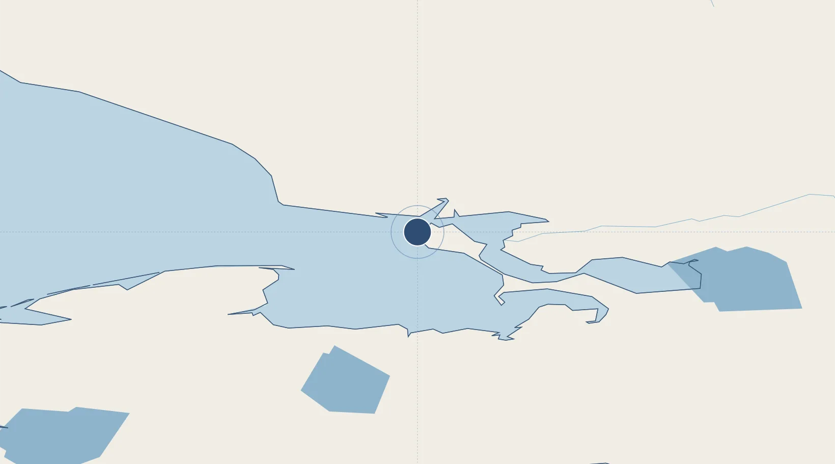
66.8847°, -162.5990°
6,300 ft
Longest runway
2
Runways
14 ft
Elevation
Runway & Layout

Radio Frequencies
ATIS
135.45 MHz
ASOS
135.45 MHz
CTAF
123.6 MHz
CNTR
119.2 MHz
ANCHORAGE CNTR
FSS
122.2 MHz
KOTZEBUE RDO
MISC
115.7 MHz
TWEB
UNIC
122.8 MHz
UNICOM
Navaids
HHM NDB Hotham 356 kHz
OTZ VOR-DME Kotzebue 115.70 MHz
Runways · 2
| Runway | Dimensions | Surface | True heading | Lit |
|---|---|---|---|---|
| 09/27 | 6,300 × 150ft | ASPH-G | 102° | ✓ |
| 17/35 | 3,800 × 90ft | Gravel | 194° | ✓ |
Airport Specifications
IATA code
OTZ
ICAO code
PAOT
Airport class
Medium airport
Scheduled service
Yes
Runway surface
ASPH-G
Served city
Kotzebue
Location
Nearby Logistics Neighbours
Airports
- 1Robert (Bob) Curtis Memorial Airport70 km
- 2Noatak Airport77 km
- 3Deering Airport91 km
- 4Bob Baker Memorial Airport95 km
- 5Selawik Airport119 km
Cities
- 1Sledge Island314 km
- 2Uelen329 km
- 3Lavrentiya403 km
- 4Point Barrow542 km
- 5Provideniya, Bukhta563 km
Ports
- 1Kotzebue4 km
- 2Deering89 km
- 3Shishmaref169 km
- 4Solomon272 km
- 5Nome295 km
Trade Zones
- 1FTZ No. 195 Fairbanks712 km
- 2FTZ No. 160 Anchorage878 km
- 3FTZ No. 108 Valdez1012 km
- 4FTZ No. 232 Kodiak1142 km
- 5PrInce George Logistics Park2553 km
DatabookThe Record of Consolidated Knowledge
United States beyond logistics?