Transport Functions
Port
Hub Profile
Region
AK
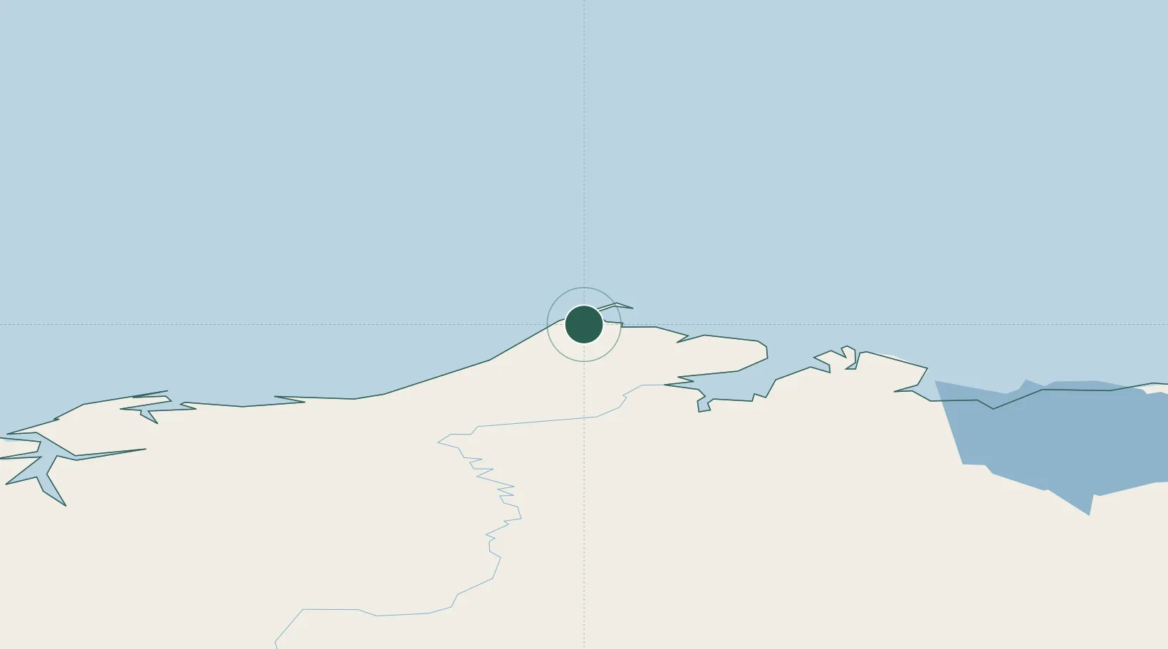
Location
Nearby Logistics Neighbours
Cities
- 1Uelen775 km
- 2Sledge Island853 km
- 3Lavrentiya859 km
- 4Provideniya, Bukhta1030 km
- 5Houston1114 km
Ports
- 1Barrow4 km
- 2Wainwright140 km
- 3Prudhoe Bay319 km
- 4Kotzebue539 km
- 5Deering627 km
Airports
Trade Zones
- 1FTZ No. 195 Fairbanks805 km
- 2FTZ No. 160 Anchorage1156 km
- 3FTZ No. 108 Valdez1216 km
- 4FTZ No. 232 Kodiak1542 km
- 5PrInce George Logistics Park2529 km
DatabookThe Record of Consolidated Knowledge
United States beyond logistics?