Medium airport · United States
Deering AirportPADE
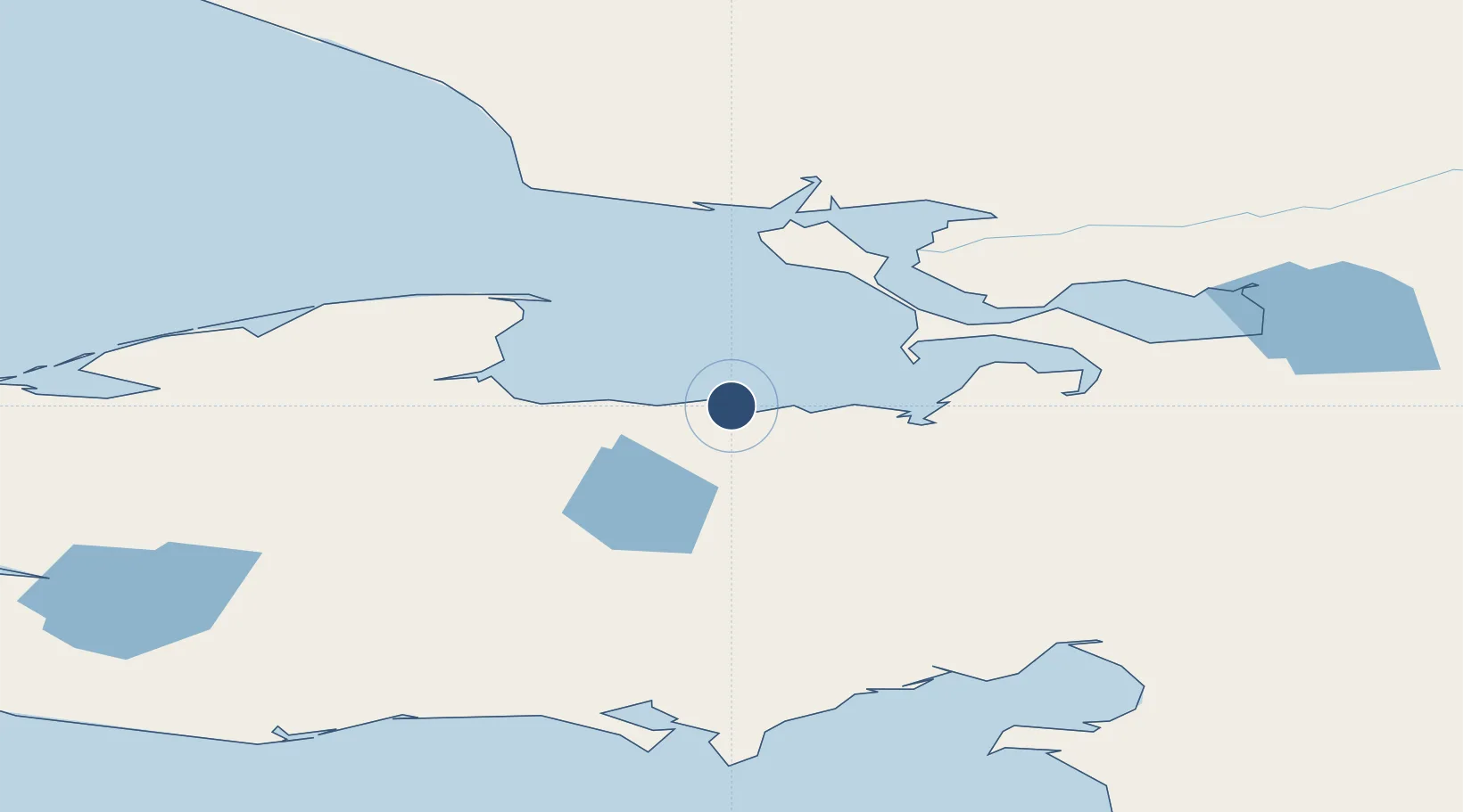
66.0689°, -162.7669°
3,320 ft
Longest runway
2
Runways
21 ft
Elevation
Runway & Layout

Radio Frequencies
ASOS
135.5 MHz
CTAF
122.9 MHz
A/D
119.2 MHz
ANCHORAGE CNTR
Runways · 2
| Runway | Dimensions | Surface | True heading | Lit |
|---|---|---|---|---|
| 03/21 | 3,320 × 75ft | Gravel | 038° | ✓ |
| 12/30 | 2,660 × 75ft | Gravel | 127° | ✓ |
Airport Specifications
IATA code
DRG
ICAO code
PADE
Airport class
Medium airport
Scheduled service
Yes
Runway surface
Gravel
Served city
Deering
Location
Nearby Logistics Neighbours
Airports
- 1Buckland Airport74 km
- 2Ralph Wien Memorial Airport91 km
- 3Robert (Bob) Curtis Memorial Airport114 km
- 4Selawik Airport137 km
- 5Bob Baker Memorial Airport144 km
Cities
- 1Sledge Island238 km
- 2Uelen317 km
- 3Lavrentiya379 km
- 4Provideniya, Bukhta525 km
- 5Vankarem602 km
Ports
- 1Deering2 km
- 2Kotzebue95 km
- 3Shishmaref150 km
- 4Solomon185 km
- 5Nome214 km
Trade Zones
- 1FTZ No. 195 Fairbanks707 km
- 2FTZ No. 160 Anchorage829 km
- 3FTZ No. 108 Valdez975 km
- 4FTZ No. 232 Kodiak1067 km
- 5PrInce George Logistics Park2539 km
DatabookThe Record of Consolidated Knowledge
United States beyond logistics?