Small airport · United States
Noatak AirportPAWN
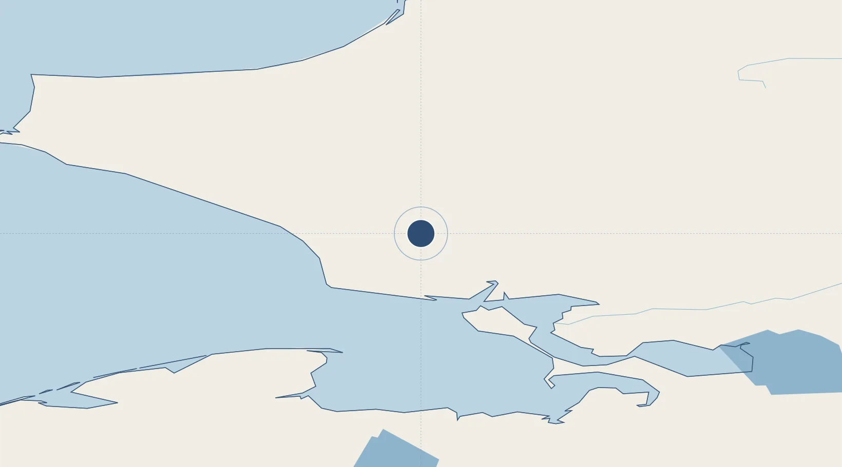
67.5612°, -162.9805°
3,992 ft
Longest runway
1
Runways
88 ft
Elevation
Runway & Layout

Radio Frequencies
AWOS
135.75 MHz
AWOS 3
CNTR
119.2 MHz
ANCHORAGE CNTR
FSS
122.4 MHz
KOTZEBUE RDO
UNIC
122.8 MHz
CTAF/UNICOM
Navaids
OQK NDB-DME Noatak 0.41 MHz
Runways · 1
| Runway | Dimensions | Surface | True heading | Lit |
|---|---|---|---|---|
| 01/19 | 3,992 × 60ft | GRAVEL-G | 022° | — |
Airport Specifications
IATA code
WTK
ICAO code
PAWN
Airport class
Small airport
Scheduled service
Yes
Runway surface
GRAVEL-G
Served city
Noatak
Location
Nearby Logistics Neighbours
Airports
- 1Kivalina Airport70 km
- 2Ralph Wien Memorial Airport77 km
- 3Robert (Bob) Curtis Memorial Airport118 km
- 4Bob Baker Memorial Airport127 km
- 5Deering Airport166 km
Cities
- 1Uelen336 km
- 2Sledge Island372 km
- 3Lavrentiya417 km
- 4Point Barrow481 km
- 5Vankarem544 km
Ports
- 1Kotzebue74 km
- 2Deering165 km
- 3Shishmaref199 km
- 4Solomon341 km
- 5Nome358 km
Trade Zones
- 1FTZ No. 195 Fairbanks746 km
- 2FTZ No. 160 Anchorage940 km
- 3FTZ No. 108 Valdez1067 km
- 4FTZ No. 232 Kodiak1216 km
- 5PrInce George Logistics Park2588 km
DatabookThe Record of Consolidated Knowledge
United States beyond logistics?