Channel & Berth Profile
Pilotage, Tugs & Services
Pilotage compulsoryYES
Tug assistanceYES
Salvage tugsYES
Shore powerYES
Potable waterYES
Diesel bunkersYES
MedicalYES
Garbage disposalYES
Facilities & Capabilities
Container—
Ro-Ro—
Liquid bulk—
Dry bulk—
Oil terminal—
Break bulk—
Dry dockNO
RepairsNO
BunkeringYES
Rail linkYES
Dangerous cargo—
ISPS security—
Harbour Specifications
Harbour size
Large
Harbour type
River (Natural)
Shelter
Excellent
Water body
North Atlantic Ocean
Tidal range
0.9 m
Overhead limit
No
Pilotage
Yes
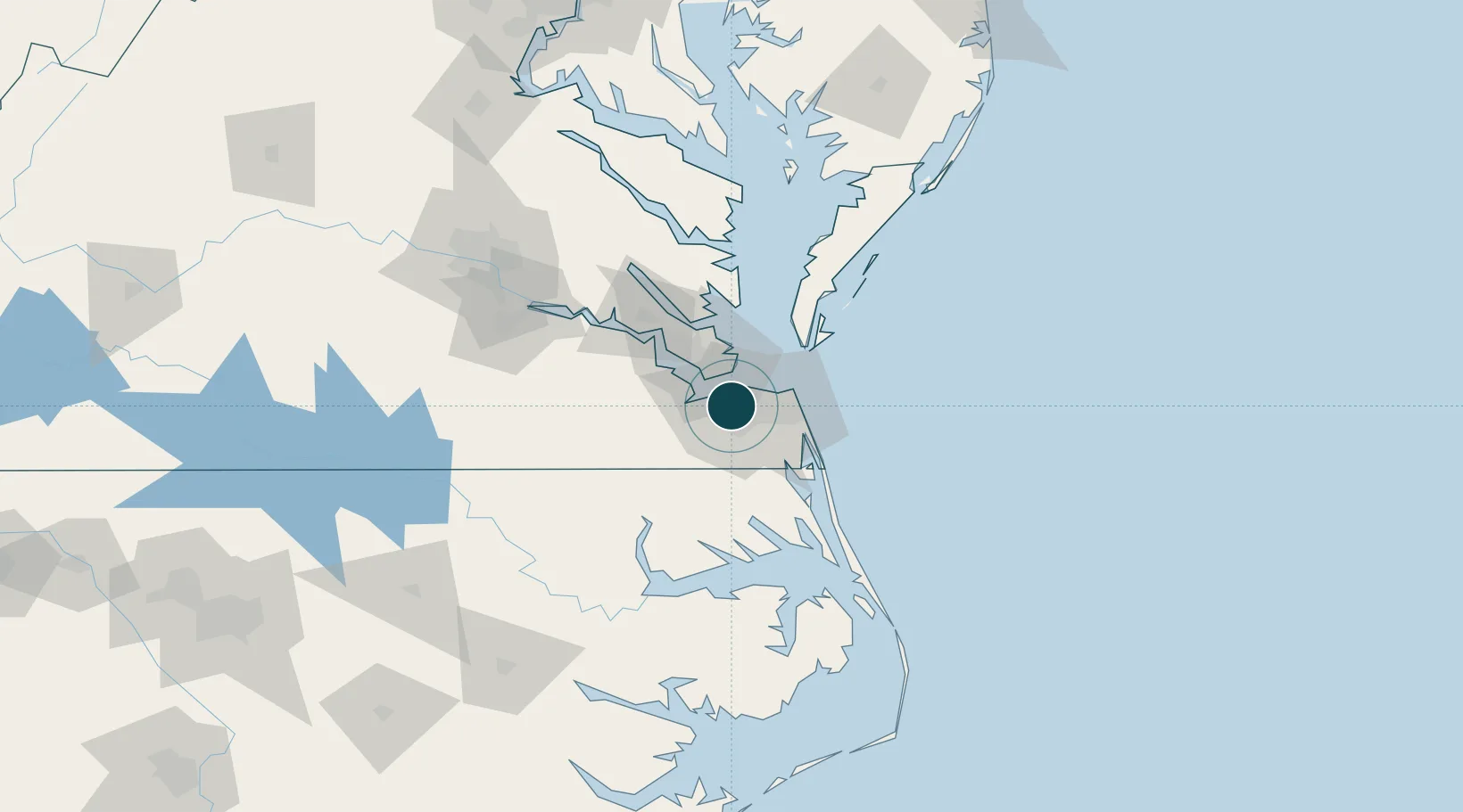
Location
Container Terminals · 1
NORFOLK INTERNATIONAL TERMINALS (NIT)
NIT VIRGINIA PORT AUTHORITY
Nearby Logistics Neighbours
Ports
- 1Portsmouth4 km
- 2Newport News18 km
- 3Yorktown46 km
- 4Cape Charles53 km
- 5Elizabeth City62 km
Cities
- 1Portsmouth4 km
- 2Chesapeake8 km
- 3Hampton Roads Pt14 km
- 4Newport News19 km
- 5Lynnhaven Roads20 km
Airports
Trade Zones
- 1FTZ No. 020 Suffolk26 km
- 2FTZ No. 207 Richmond135 km
- 3FTZ No. 214 Lenoir County231 km
- 4FTZ No. 063 PrInce Georges County233 km
- 5FTZ No. 185 Culpeper County241 km
DatabookThe Record of Consolidated Knowledge
United States beyond logistics?