UN/LOCODE hub · United States
USHR3

Hampton Roads Pt

36.9667°, -76.3500°
2
Transport functions

Transport Functions

Port
Road
UN/LOCODE

Hub Profile

Region
VA
GeoNames

Location

Location of USHR3
Natural Earth 10m (public domain) · VA · USHR3 · 36.97, -76.35GoogleOSMYandex

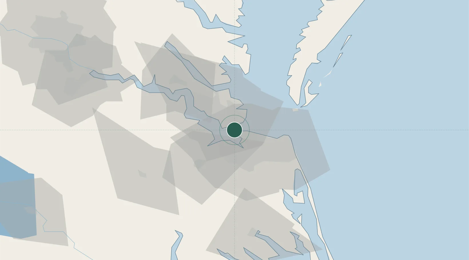
Nearby Logistics Neighbours

Cities
  1. 1Newport News7 km
  2. 2Newmarket8 km
  3. 3Norfolk12 km
  4. 4Portsmouth13 km
  5. 5Carrollton18 km
Nearest neighbours — logibook spatial index (haversine) over the source coordinates
Ports
  1. 1Newport News7 km
  2. 2Norfolk14 km
  3. 3Portsmouth17 km
  4. 4Yorktown33 km
  5. 5Cape Charles45 km
Nearest neighbours — logibook spatial index (haversine) over the source coordinates
Airports
  1. 1Norfolk Naval Station (Chambers Field)6 km
  2. 2Langley Air Force Base13 km
  3. 3Norfolk International Airport15 km
  4. 4Newport News Williamsburg International Airport22 km
  5. 5Felker Army Air Field30 km
Nearest neighbours — logibook spatial index (haversine) over the source coordinates
Trade Zones
  1. 1FTZ No. 020 Suffolk21 km
  2. 2FTZ No. 207 Richmond124 km
  3. 3FTZ No. 063 PrInce Georges County219 km
  4. 4FTZ No. 185 Culpeper County228 km
  5. 5FTZ No. 214 Lenoir County239 km
Nearest neighbours — logibook spatial index (haversine) over the source coordinates
DatabookThe Record of Consolidated Knowledge
United States beyond logistics?
Browse databook

All Sources

LocationsUN/LOCODE
UN/LOCODE — free
Portsthe NGA World Port Index
Public domain (US gov)
AirportsOurAirports
Public domain
Trade Zonesthe World Bank SEZ database
CC BY 4.0
Trade ZonesOpen Zone Map
CC BY
← United States locations