UN/LOCODE hub · United States
USYVO

Lynnhaven Roads

36.9333°, -76.1000°
1
Transport functions

Transport Functions

Port
UN/LOCODE

Hub Profile

Region
VA
GeoNames

Location

Location of USYVO
Natural Earth 10m (public domain) · VA · USYVO · 36.93, -76.10GoogleOSMYandex

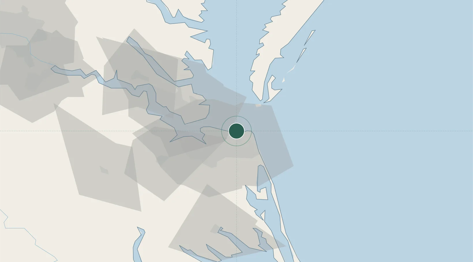
Nearby Logistics Neighbours

Cities
  1. 1Cape Henry8 km
  2. 2Hampton Roads Pt23 km
  3. 3Portsmouth23 km
  4. 4Norfolk25 km
  5. 5Chesapeake27 km
Nearest neighbours — logibook spatial index (haversine) over the source coordinates
Ports
  1. 1Norfolk20 km
  2. 2Portsmouth22 km
  3. 3Newport News30 km
  4. 4Cape Charles38 km
  5. 5Yorktown49 km
Nearest neighbours — logibook spatial index (haversine) over the source coordinates
Airports
  1. 1Norfolk International Airport10 km
  2. 2Oceana Naval Air Station14 km
  3. 3Norfolk Naval Station (Chambers Field)17 km
  4. 4Langley Air Force Base29 km
  5. 5Newport News Williamsburg International Airport41 km
Nearest neighbours — logibook spatial index (haversine) over the source coordinates
Trade Zones
  1. 1FTZ No. 020 Suffolk43 km
  2. 2FTZ No. 207 Richmond145 km
  3. 3FTZ No. 063 PrInce Georges County231 km
  4. 4FTZ No. 185 Culpeper County246 km
  5. 5FTZ No. 214 Lenoir County250 km
Nearest neighbours — logibook spatial index (haversine) over the source coordinates
DatabookThe Record of Consolidated Knowledge
United States beyond logistics?
Browse databook

All Sources

LocationsUN/LOCODE
UN/LOCODE — free
Portsthe NGA World Port Index
Public domain (US gov)
AirportsOurAirports
Public domain
Trade Zonesthe World Bank SEZ database
CC BY 4.0
Trade ZonesOpen Zone Map
CC BY
← United States locations