UN/LOCODE hub · United States
USUFG
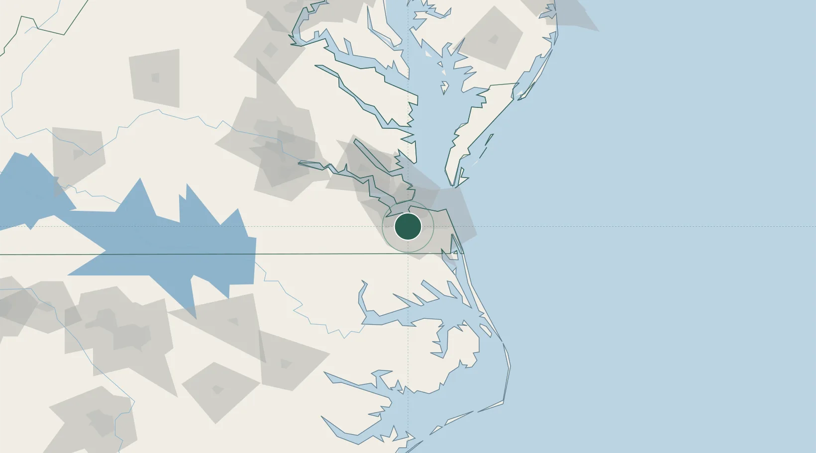
Chesapeake
36.7822°, -76.3320°
235,429
Population
3
Transport functions
Transport Functions
Port
Road
Airport
Hub Profile
Place type
Provincial seat
Region
Virginia
Population
235,429
Time zone
America/New_York
Elevation
3 m
Logistics facilities
26
Location
Nearby Logistics Neighbours
Cities
- 1Portsmouth8 km
- 2Norfolk9 km
- 3Hampton Roads Pt21 km
- 4Palmyra23 km
- 5Newport News24 km
Ports
- 1Portsmouth5 km
- 2Norfolk8 km
- 3Newport News22 km
- 4Yorktown52 km
- 5Elizabeth City55 km
Airports
Trade Zones
- 1FTZ No. 020 Suffolk27 km
- 2FTZ No. 207 Richmond137 km
- 3FTZ No. 214 Lenoir County224 km
- 4FTZ No. 063 PrInce Georges County239 km
- 5FTZ No. 185 Culpeper County245 km
DatabookThe Record of Consolidated Knowledge
United States beyond logistics?