UN/LOCODE hub · United States
USPTM
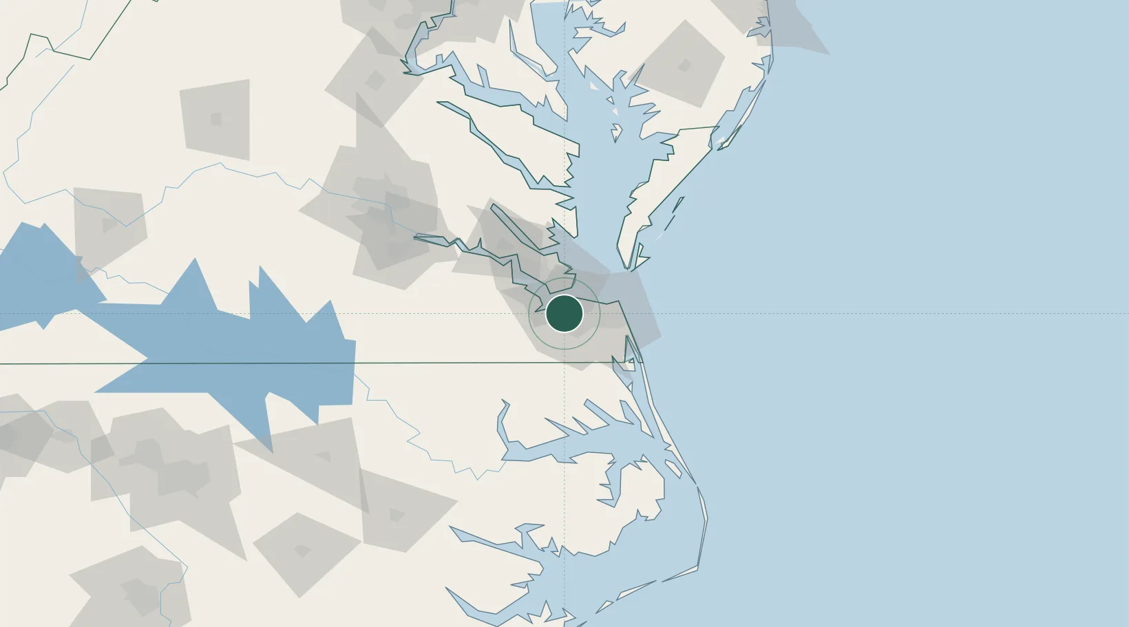
Portsmouth
36.8532°, -76.3404°
96,201
Population
2
Transport functions
2
Container terminals
Transport Functions
Port
Road
Hub Profile
Place type
Provincial seat
Region
Virginia
Population
96,201
Time zone
America/New_York
Elevation
3 m
Logistics facilities
16
Container terminals
2
Location
Nearby Logistics Neighbours
Cities
- 1Norfolk3 km
- 2Chesapeake8 km
- 3Hampton Roads Pt13 km
- 4Newport News17 km
- 5Newmarket19 km
Ports
- 1Norfolk4 km
- 2Newport News15 km
- 3Yorktown45 km
- 4Cape Charles54 km
- 5Elizabeth City63 km
Airports
Trade Zones
- 1FTZ No. 020 Suffolk23 km
- 2FTZ No. 207 Richmond132 km
- 3FTZ No. 214 Lenoir County229 km
- 4FTZ No. 063 PrInce Georges County232 km
- 5FTZ No. 185 Culpeper County238 km
DatabookThe Record of Consolidated Knowledge
United States beyond logistics?