UN/LOCODE hub · United States
USORF
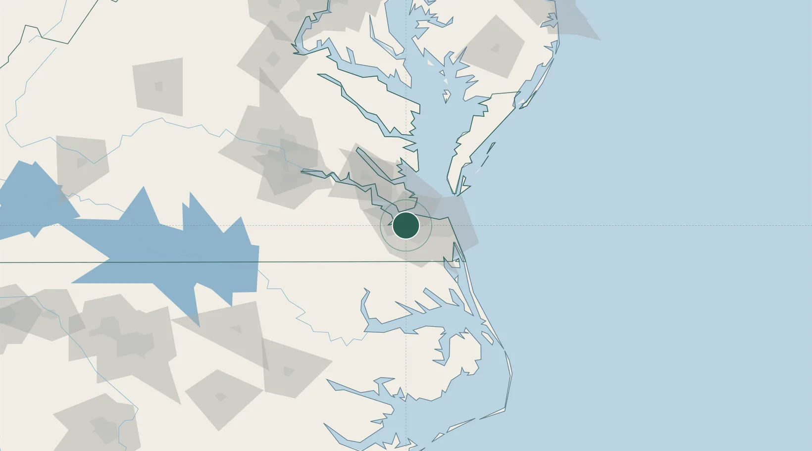
Norfolk
36.8608°, -76.3682°
238,005
Population
4
Transport functions
1
Container terminals
Transport Functions
Port
Rail
Road
Airport
Hub Profile
Place type
Provincial seat
Region
Virginia
Population
238,005
Time zone
America/New_York
Elevation
2 m
Logistics facilities
72
Container terminals
1
Location
Nearby Logistics Neighbours
Cities
- 1Portsmouth3 km
- 2Chesapeake9 km
- 3Hampton Roads Pt12 km
- 4Newport News15 km
- 5Newmarket18 km
Ports
- 1Portsmouth8 km
- 2Newport News13 km
- 3Yorktown43 km
- 4Cape Charles55 km
- 5Elizabeth City64 km
Airports
Trade Zones
- 1FTZ No. 020 Suffolk20 km
- 2FTZ No. 207 Richmond129 km
- 3FTZ No. 214 Lenoir County228 km
- 4FTZ No. 063 PrInce Georges County230 km
- 5FTZ No. 185 Culpeper County236 km
DatabookThe Record of Consolidated Knowledge
United States beyond logistics?