Large airport · United States
Norfolk International AirportKORF
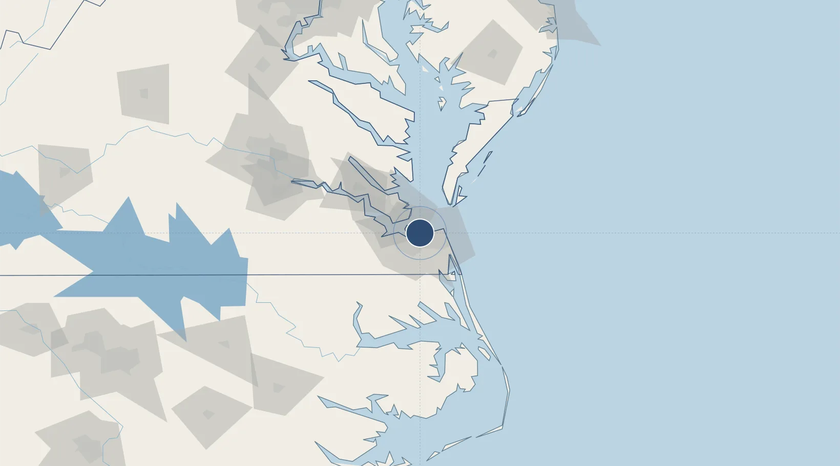
36.8953°, -76.2010°
9,001 ft
Longest runway
2
Runways
26 ft
Elevation
Runway & Layout

Radio Frequencies
ATIS
127.15 MHz
TWR
120.8 MHz
GND
121.9 MHz
CLD
118.5 MHz
CLNC DEL
APP
28.83 MHz
APP
118.9 MHz
DEP
125.2 MHz
RDO
116.9 MHz
LEESBURG RDO
Navaids
OR NDB Ingle 329 kHz
ORF VORTAC Norfolk 116.90 MHz
Runways · 2
| Runway | Dimensions | Surface | True heading | Lit |
|---|---|---|---|---|
| 05/23 | 9,001 × 150ft | Asphalt | 038° | ✓ |
| 14/32 | 4,876 × 150ft | Asphalt | 128° | ✓ |
Airport Specifications
IATA code
ORF
ICAO code
KORF
Airport class
Large airport
Scheduled service
Yes
Runway surface
Asphalt
Served city
Norfolk
Location
Nearby Logistics Neighbours
Airports
Cities
- 1Lynnhaven Roads10 km
- 2Portsmouth13 km
- 3Norfolk15 km
- 4Hampton Roads Pt15 km
- 5Cape Henry17 km
Ports
- 1Norfolk10 km
- 2Portsmouth12 km
- 3Newport News22 km
- 4Cape Charles44 km
- 5Yorktown46 km
Trade Zones
- 1FTZ No. 020 Suffolk34 km
- 2FTZ No. 207 Richmond140 km
- 3FTZ No. 063 PrInce Georges County231 km
- 4FTZ No. 214 Lenoir County241 km
- 5FTZ No. 185 Culpeper County243 km
DatabookThe Record of Consolidated Knowledge
United States beyond logistics?