Medium airport · United States
Oceana Naval Air StationKNTU
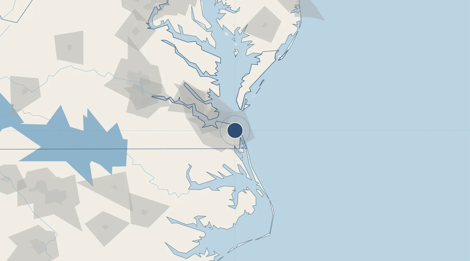
36.8207°, -76.0335°
12,001 ft
Longest runway
4
Runways
23 ft
Elevation
Runway & Layout

Radio Frequencies
ATIS
31.76 MHz
TWR
127.075 MHz
GND
33.64 MHz
CLD
25.44 MHz
CLNC DEL
DEP
119.6 MHz
Oceana Departure Control
APPR
123.9 MHz
Oceana Approach Control
MISC
672.3 MHz
ATCOM
OPS
28.49 MHz
BASE OPS
PMSV
38.74 MHz
PMSV METRO
Navaids
NTU TACAN Oceana 116.60 MHz
Runways · 4
| Runway | Dimensions | Surface | True heading | Lit |
|---|---|---|---|---|
| 05R/23L | 12,001 × 200ft | Asphalt / concrete | 042° | ✓ |
| 14L/32R | 8,001 × 150ft | Concrete | 133° | ✓ |
| 05L/23R | 8,000 × 150ft | Concrete | 042° | ✓ |
| 14R/32L | 8,000 × 200ft | Asphalt / concrete | 134° | ✓ |
Airport Specifications
IATA code
NTU
ICAO code
KNTU
Airport class
Medium airport
Scheduled service
No
Runway surface
Asphalt / concrete
Served city
Virginia Beach
Location
Nearby Logistics Neighbours
Airports
Cities
- 1Cape Henry11 km
- 2Lynnhaven Roads14 km
- 3Chesapeake27 km
- 4Portsmouth28 km
- 5Norfolk30 km
Ports
- 1Portsmouth24 km
- 2Norfolk24 km
- 3Newport News39 km
- 4Cape Charles50 km
- 5Elizabeth City60 km
Trade Zones
- 1FTZ No. 020 Suffolk50 km
- 2FTZ No. 207 Richmond157 km
- 3FTZ No. 214 Lenoir County244 km
- 4FTZ No. 063 PrInce Georges County245 km
- 5FTZ No. 185 Culpeper County259 km
DatabookThe Record of Consolidated Knowledge
United States beyond logistics?