Channel & Berth Profile
Pilotage, Tugs & Services
Pilotage compulsoryNO
Potable waterYES
Diesel bunkersYES
MedicalYES
Facilities & Capabilities
Container—
Ro-Ro—
Liquid bulk—
Dry bulk—
Oil terminal—
Break bulk—
Dry dockNO
RepairsNO
BunkeringYES
Rail linkYES
Dangerous cargo—
ISPS security—
Harbour Specifications
Harbour size
Very Small
Harbour type
River (Natural)
Shelter
Excellent
Water body
North Atlantic Ocean
Overhead limit
Yes
Pilotage
No
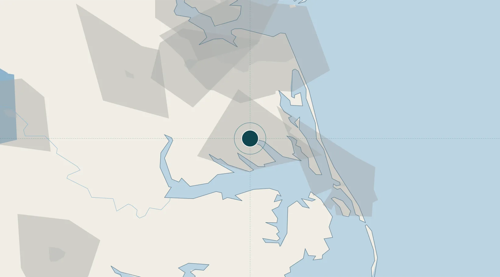
Location
Nearby Logistics Neighbours
Ports
- 1Hertford26 km
- 2Columbia43 km
- 3Edenton45 km
- 4Portsmouth58 km
- 5Norfolk62 km
Cities
- 1South Mills17 km
- 2Winton27 km
- 3Jarvisburg33 km
- 4Corolla36 km
- 5Tyner36 km
Airports
Trade Zones
- 1FTZ No. 020 Suffolk76 km
- 2FTZ No. 207 Richmond181 km
- 3FTZ No. 214 Lenoir County193 km
- 4FTZ No. 093 Raleigh Durham246 km
- 5FTZ No. 063 PrInce Georges County294 km
DatabookThe Record of Consolidated Knowledge
United States beyond logistics?