UN/LOCODE hub · United States
USNNS
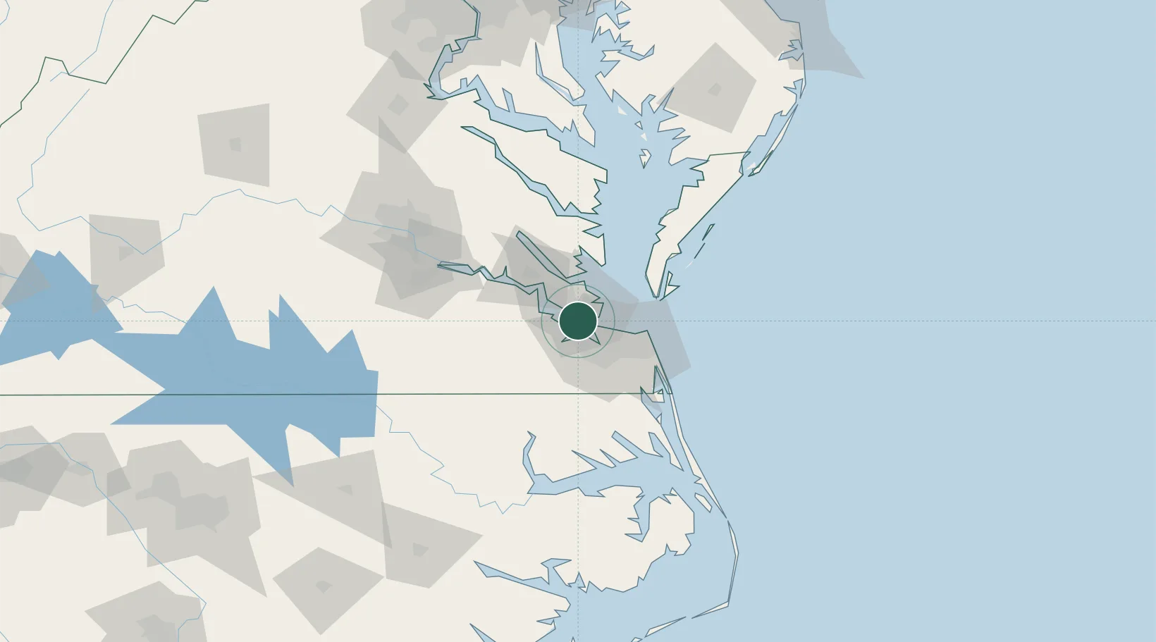
Newport News
36.9891°, -76.4235°
186,247
Population
3
Transport functions
Transport Functions
Port
Rail
Road
Hub Profile
Place type
Provincial seat
Region
Virginia
Population
186,247
Time zone
America/New_York
Elevation
6 m
Logistics facilities
7
Location
Nearby Logistics Neighbours
Cities
- 1Newmarket3 km
- 2Hampton Roads Pt7 km
- 3Carrollton13 km
- 4Norfolk15 km
- 5Portsmouth17 km
Ports
- 1Norfolk19 km
- 2Portsmouth22 km
- 3Yorktown28 km
- 4Cape Charles48 km
- 5West Point69 km
Airports
Trade Zones
DatabookThe Record of Consolidated Knowledge
United States beyond logistics?