Medium airport · United States
Norfolk Naval Station (Chambers Field)KNGU
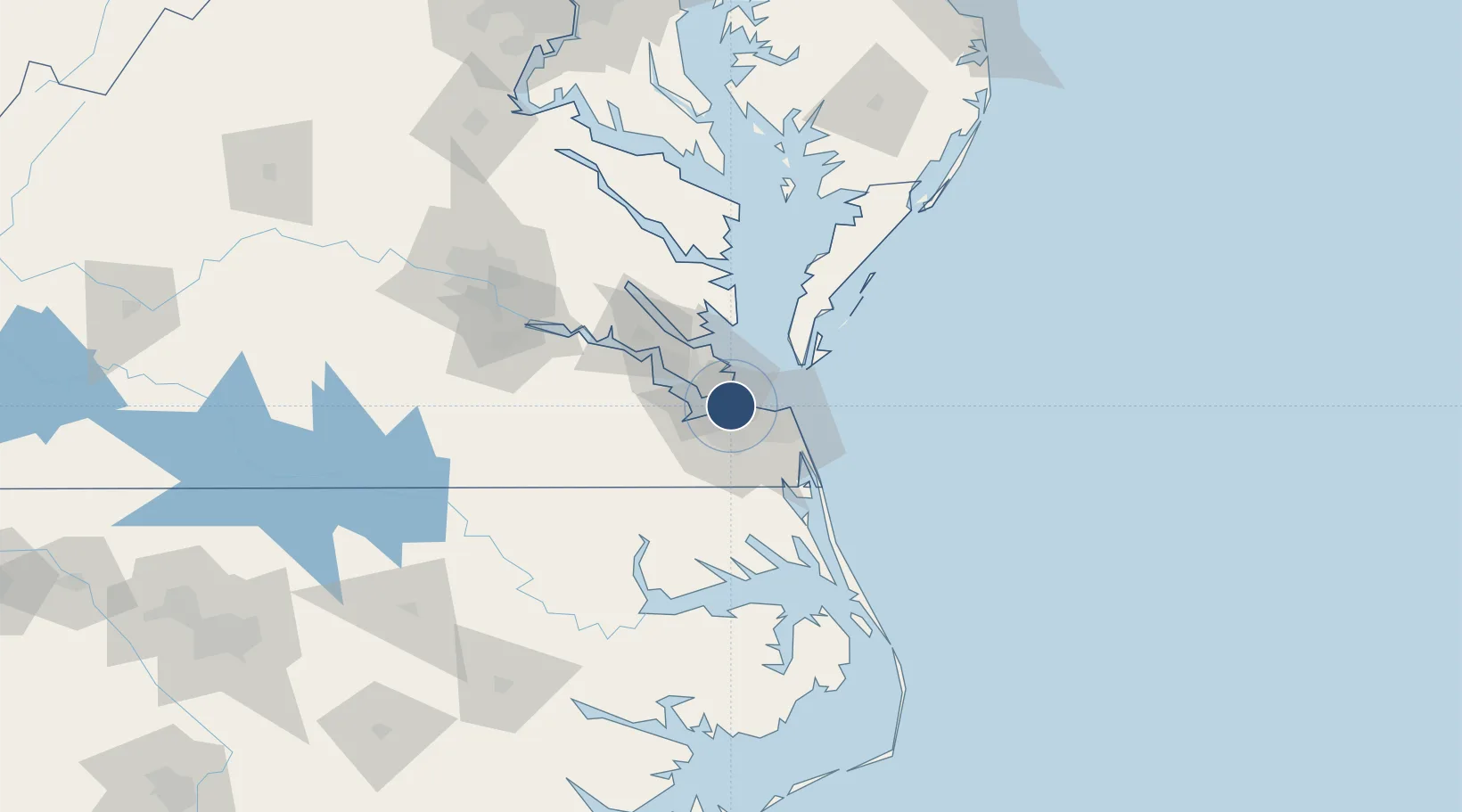
36.9376°, -76.2893°
8,370 ft
Longest runway
1
Runways
17 ft
Elevation
Runway & Layout

Radio Frequencies
ATIS
118.425 MHz
TWR
124.3 MHz
CHAMBERS TWR
GND
29.895 MHz
NAVYNORFOLK HELI GND
GND
121.8 MHz
CHAMBERS GND
CLD
120.7 MHz
CLNC DEL
APP
118.9 MHz
DEP
125.2 MHz
GTE
130.65 MHz
AMC/ATOC
HEL
126.375 MHz
NAVYNORFOLK HELI TWR
OPS
126.375 MHz
BASE OPS
PMSV
27.16 MHz
METRO
Navaids
NGU TACAN Chambers 111.10 MHz
Runways · 1
| Runway | Dimensions | Surface | True heading | Lit |
|---|---|---|---|---|
| 10/28 | 8,370 × 200ft | Asphalt | 090° | ✓ |
Airport Specifications
IATA code
NGU
ICAO code
KNGU
Airport class
Medium airport
Scheduled service
No
Runway surface
Asphalt
Served city
Norfolk
Location
Nearby Logistics Neighbours
Airports
Cities
- 1Hampton Roads Pt6 km
- 2Portsmouth10 km
- 3Norfolk11 km
- 4Newport News13 km
- 5Newmarket14 km
Ports
- 1Norfolk10 km
- 2Newport News13 km
- 3Portsmouth14 km
- 4Yorktown38 km
- 5Cape Charles44 km
Trade Zones
- 1FTZ No. 020 Suffolk26 km
- 2FTZ No. 207 Richmond130 km
- 3FTZ No. 063 PrInce Georges County224 km
- 4FTZ No. 185 Culpeper County234 km
- 5FTZ No. 214 Lenoir County240 km
DatabookThe Record of Consolidated Knowledge
United States beyond logistics?