UN/LOCODE hub · United States
USMFS
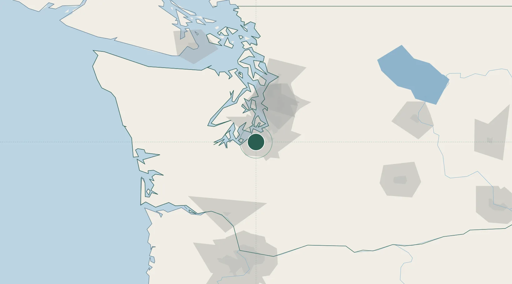
McChord Air Force Base
47.1333°, -122.5000°
2,507
Population
4
Transport functions
Transport Functions
Rail
Road
Airport
Multimodal
Hub Profile
Place type
Populated place
Region
Washington
Population
2,507
Time zone
America/Los_Angeles
Elevation
93 m
Location
Nearby Logistics Neighbours
Cities
- 1Fort Lewis11 km
- 2Fife16 km
- 3Tacoma18 km
- 4Yelm24 km
- 5Bonney Lake24 km
Ports
- 1Tacoma18 km
- 2Olympia32 km
- 3Port Orchard46 km
- 4Shelton46 km
- 5Bremerton50 km
Airports
Trade Zones
- 1FTZ No. 212 Tacoma13 km
- 2FTZ No. 086 Tacoma16 km
- 3FTZ No. 216 Olympia34 km
- 4FTZ No. 005 Seattle53 km
- 5FTZ No. 085 Everett99 km
DatabookThe Record of Consolidated Knowledge
United States beyond logistics?