Transport Functions
Multimodal
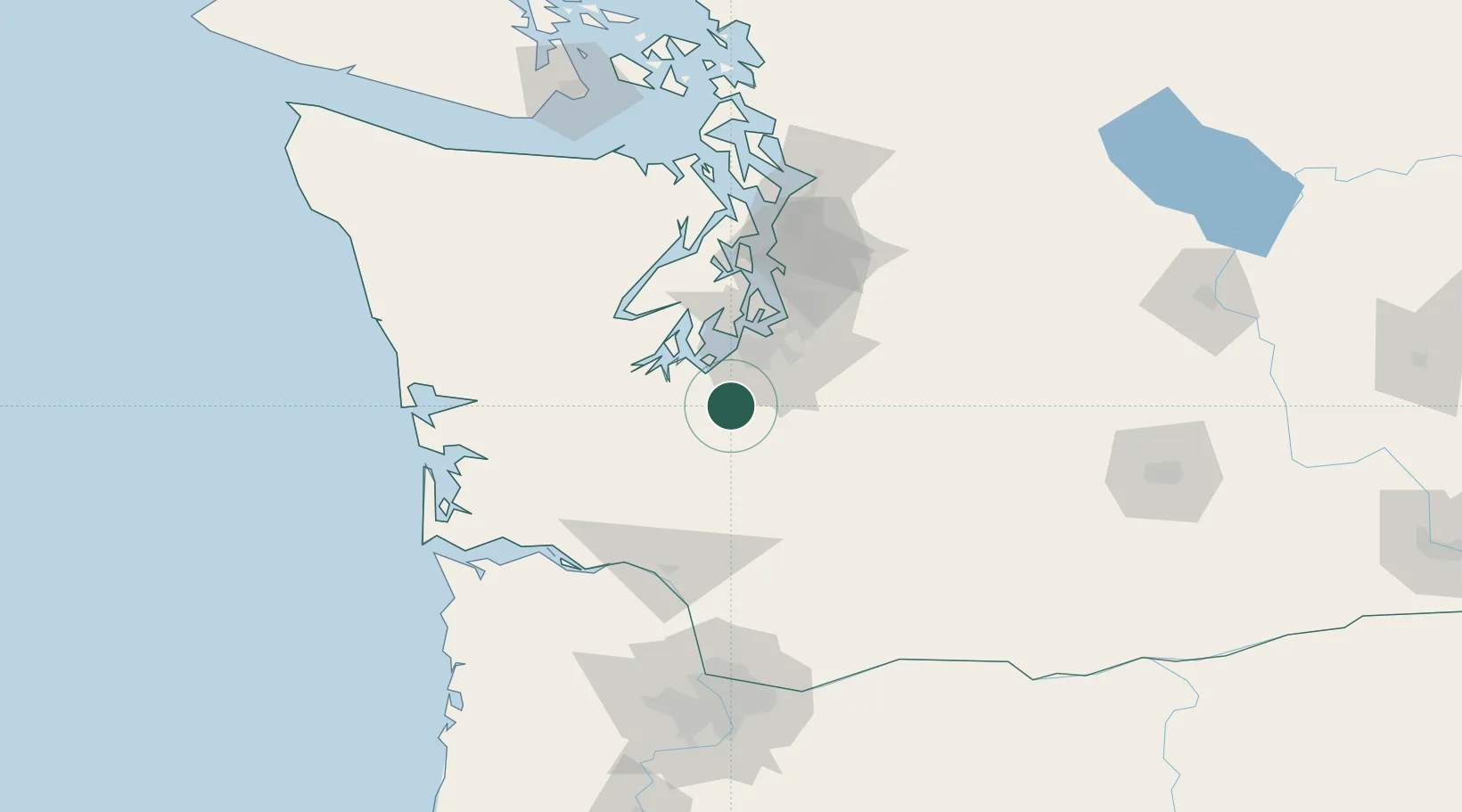
Hub Profile
Place type
Populated place
Region
Washington
Population
8,434
Time zone
America/Los_Angeles
Elevation
105 m
Location
Nearby Logistics Neighbours
Cities
- 1Fort Lewis13 km
- 2McChord Air Force Base24 km
- 3Olympia27 km
- 4Eatonville28 km
- 5Fife39 km
Ports
- 1Olympia26 km
- 2Tacoma41 km
- 3Shelton49 km
- 4Port Orchard67 km
- 5Hoodsport67 km
Airports
Trade Zones
- 1FTZ No. 216 Olympia28 km
- 2FTZ No. 212 Tacoma36 km
- 3FTZ No. 086 Tacoma40 km
- 4FTZ No. 005 Seattle76 km
- 5FTZ No. 120 Cowlitz County96 km
DatabookThe Record of Consolidated Knowledge
United States beyond logistics?