UN/LOCODE hub · United States
USW4O

Newmarket

37.0167°, -76.4167°
2
Transport functions

Transport Functions

Rail
Road
UN/LOCODE

Hub Profile

Place type
Populated place
GeoNames
Region
Virginia
GeoNames
Time zone
America/New_York
GeoNames
Elevation
4 m
GeoNames

Location

Location of USW4O
Natural Earth 10m (public domain) · Virginia · USW4O · 37.02, -76.42GoogleOSMYandex

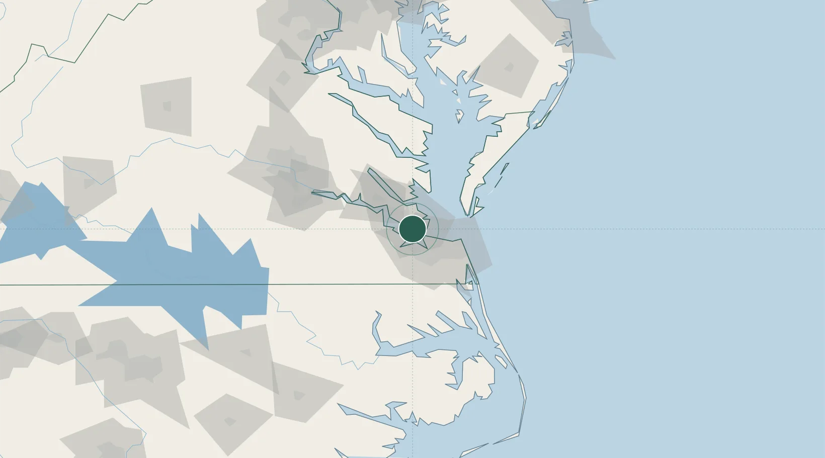
Nearby Logistics Neighbours

Cities
  1. 1Newport News3 km
  2. 2Hampton Roads Pt8 km
  3. 3Carrollton15 km
  4. 4Norfolk18 km
  5. 5Portsmouth19 km
Nearest neighbours — logibook spatial index (haversine) over the source coordinates
Ports
  1. 1Newport News6 km
  2. 2Norfolk21 km
  3. 3Portsmouth25 km
  4. 4Yorktown25 km
  5. 5Cape Charles45 km
Nearest neighbours — logibook spatial index (haversine) over the source coordinates
Airports
  1. 1Langley Air Force Base9 km
  2. 2Norfolk Naval Station (Chambers Field)14 km
  3. 3Newport News Williamsburg International Airport15 km
  4. 4Felker Army Air Field21 km
  5. 5Norfolk International Airport23 km
Nearest neighbours — logibook spatial index (haversine) over the source coordinates
Trade Zones
  1. 1FTZ No. 020 Suffolk18 km
  2. 2FTZ No. 207 Richmond116 km
  3. 3FTZ No. 063 PrInce Georges County212 km
  4. 4FTZ No. 185 Culpeper County220 km
  5. 5FTZ No. 137 Washington Dulles International Airport234 km
Nearest neighbours — logibook spatial index (haversine) over the source coordinates
DatabookThe Record of Consolidated Knowledge
United States beyond logistics?
Browse databook

All Sources

LocationsUN/LOCODE
UN/LOCODE — free
Portsthe NGA World Port Index
Public domain (US gov)
AirportsOurAirports
Public domain
Trade Zonesthe World Bank SEZ database
CC BY 4.0
Trade ZonesOpen Zone Map
CC BY
← United States locations