UN/LOCODE hub · United States
USQLN
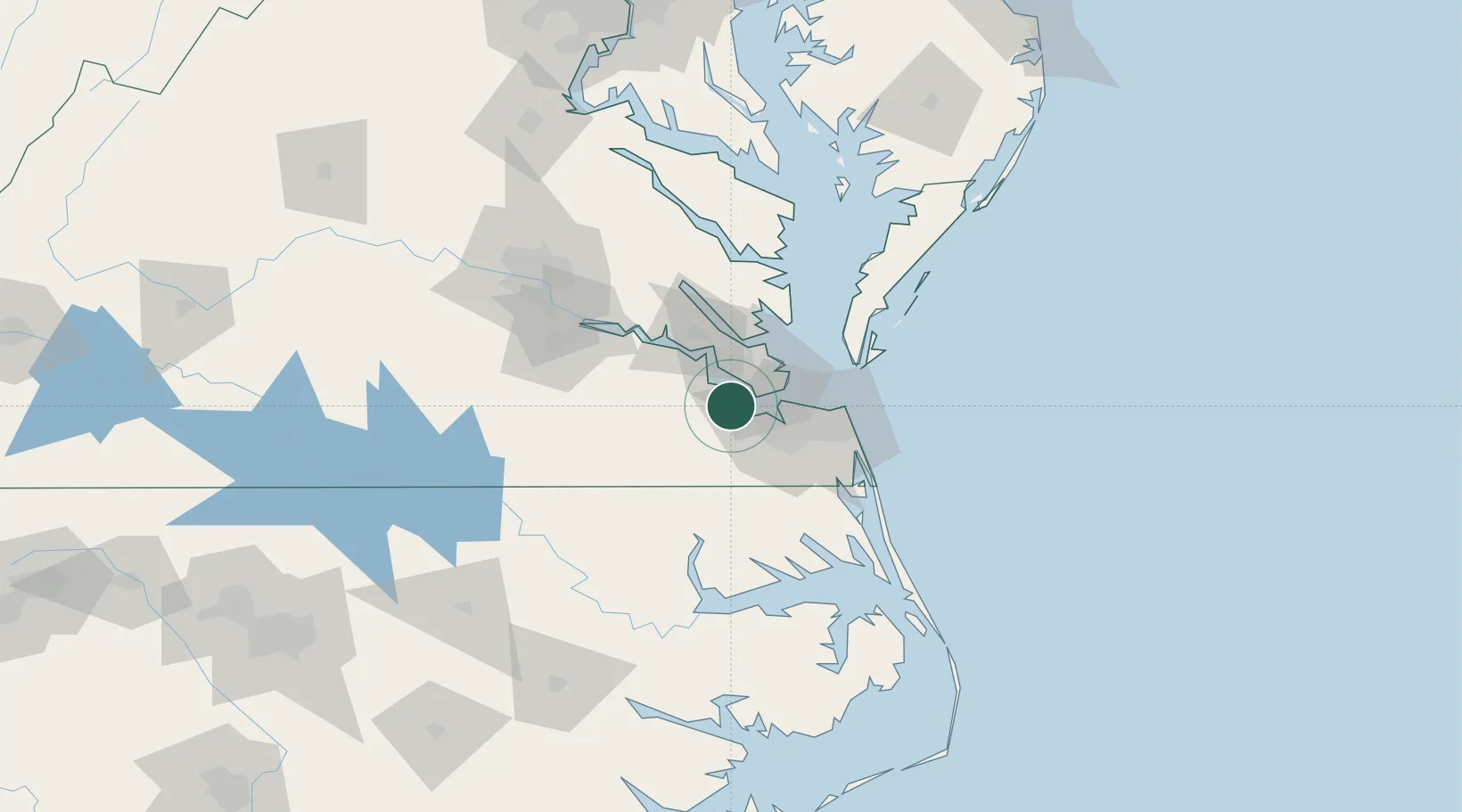
Carrollton
36.9333°, -76.5500°
4,574
Population
2
Transport functions
Transport Functions
Road
Multimodal
Hub Profile
Place type
Populated place
Region
Virginia
Population
4,574
Time zone
America/New_York
Elevation
6 m
Logistics facilities
1
Location
Nearby Logistics Neighbours
Cities
- 1Newport News13 km
- 2Newmarket15 km
- 3Norfolk18 km
- 4Hampton Roads Pt18 km
- 5Palmyra21 km
Ports
- 1Newport News11 km
- 2Norfolk24 km
- 3Portsmouth26 km
- 4Yorktown34 km
- 5Cape Charles60 km
Airports
Trade Zones
- 1FTZ No. 020 Suffolk3 km
- 2FTZ No. 207 Richmond111 km
- 3FTZ No. 063 PrInce Georges County218 km
- 4FTZ No. 185 Culpeper County220 km
- 5FTZ No. 214 Lenoir County226 km
DatabookThe Record of Consolidated Knowledge
United States beyond logistics?