Channel & Berth Profile
Facilities & Capabilities
Container—
Ro-Ro—
Liquid bulk—
Dry bulk—
Oil terminal—
Break bulk—
Dry dock—
Repairs—
Bunkering—
Rail link—
Dangerous cargo—
ISPS security—
Harbour Specifications
Harbour size
Very Small
Harbour type
Coastal (Natural)
Shelter
Good
Water body
Cook Inlet; Gulf of Alaska; North Pacific Ocean
Tidal range
5.2 m
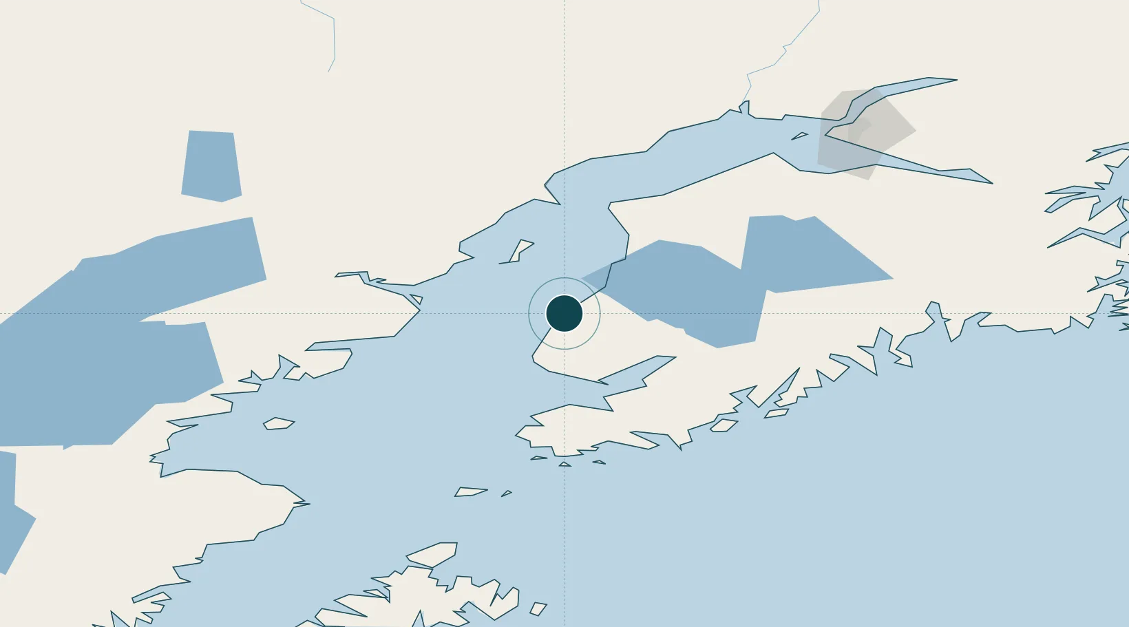
Location
Nearby Logistics Neighbours
Ports
- 1Homer52 km
- 2Kenai60 km
- 3Drift River61 km
- 4Seldovia69 km
- 5Nikiski72 km
Cities
- 1Jakolof Bay67 km
- 2Anchorage164 km
- 3Port MacKenzie166 km
- 4Elmendorf Air Force Base168 km
- 5Susitna177 km
Airports
- 1Homer Airport47 km
- 2Soldotna Airport59 km
- 3Kenai Municipal Airport63 km
- 4Seldovia Airport68 km
- 5Port Graham Airport79 km
Trade Zones
- 1FTZ No. 160 Anchorage165 km
- 2FTZ No. 232 Kodiak309 km
- 3FTZ No. 108 Valdez315 km
- 4FTZ No. 195 Fairbanks571 km
- 5PrInce George Logistics Park1862 km
DatabookThe Record of Consolidated Knowledge
United States beyond logistics?