Small airport · United States
Port Graham AirportPGM
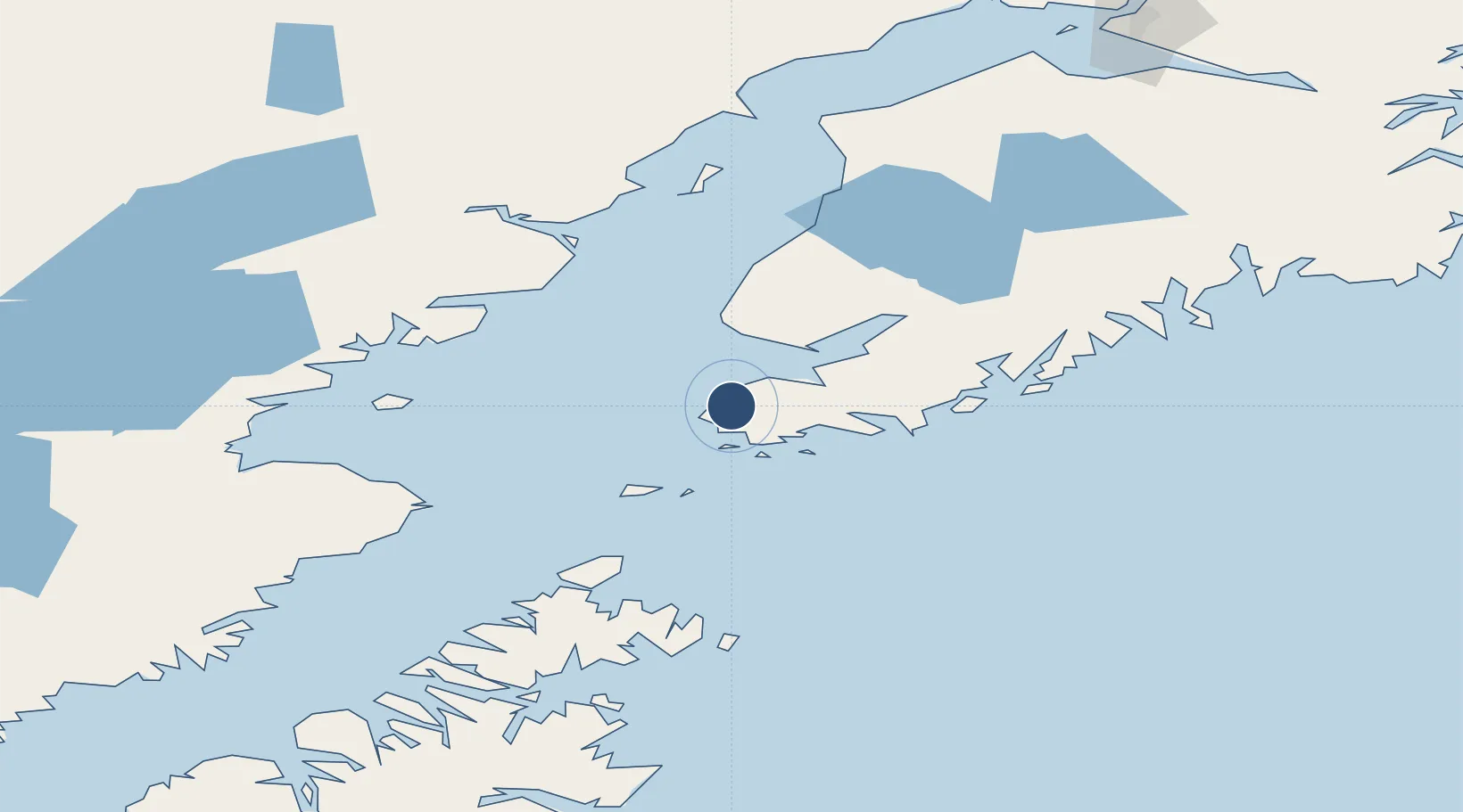
59.3484°, -151.8300°
1,975 ft
Longest runway
1
Runways
93 ft
Elevation
Runway & Layout

Runways · 1
| Runway | Dimensions | Surface | True heading | Lit |
|---|---|---|---|---|
| 12/30 | 1,975 × 45ft | GRVL-DIRT-G | — | — |
Airport Specifications
IATA code
PGM
ICAO code
PGM
Airport class
Small airport
Scheduled service
Yes
Runway surface
GRVL-DIRT-G
Served city
Port Graham
Location
Nearby Logistics Neighbours
Airports
- 1Nanwalek Airport5 km
- 2Seldovia Airport13 km
- 3Homer Airport38 km
- 4Port Williams Seaplane Base105 km
- 5Seal Bay Seaplane Base111 km
Cities
- 1Jakolof Bay21 km
- 2Afognak159 km
- 3Anchorage236 km
- 4Port MacKenzie238 km
- 5Elmendorf Air Force Base239 km
Ports
- 1Port Graham1 km
- 2Seldovia11 km
- 3Homer36 km
- 4Ninilchik79 km
- 5Port William106 km
Trade Zones
- 1FTZ No. 232 Kodiak235 km
- 2FTZ No. 160 Anchorage236 km
- 3FTZ No. 108 Valdez361 km
- 4FTZ No. 195 Fairbanks647 km
- 5PrInce George Logistics Park1861 km
DatabookThe Record of Consolidated Knowledge
United States beyond logistics?