UN/LOCODE hub · United States
USANC
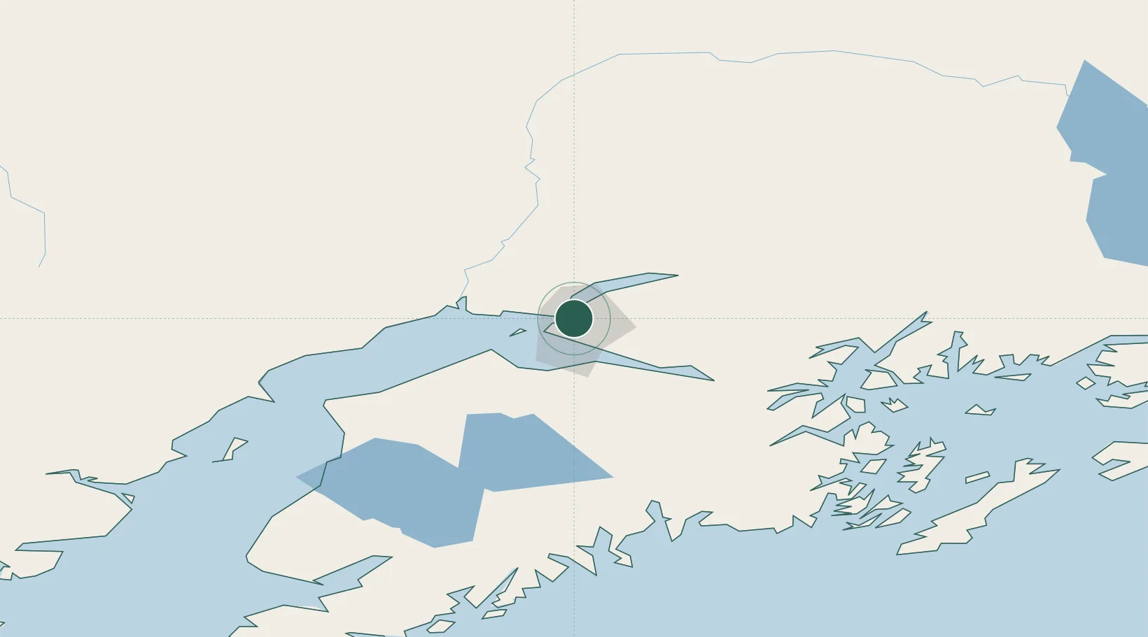
Anchorage
61.2351°, -149.8827°
289,600
Population
3
Transport functions
1
Container terminals
Transport Functions
Port
Airport
Postal
Hub Profile
Place type
Provincial seat
Region
Alaska
Population
289,600
Time zone
America/Anchorage
Elevation
31 m
Logistics facilities
5
Container terminals
1
Location
Nearby Logistics Neighbours
Cities
- 1Port MacKenzie4 km
- 2Elmendorf Air Force Base5 km
- 3Houston44 km
- 4Susitna47 km
- 5Valdez192 km
Ports
- 1Whittier82 km
- 2Nikiski102 km
- 3Kenai107 km
- 4Seward129 km
- 5Drift River144 km
Airports
Trade Zones
- 1FTZ No. 160 Anchorage1 km
- 2FTZ No. 108 Valdez189 km
- 3FTZ No. 195 Fairbanks416 km
- 4FTZ No. 232 Kodiak470 km
- 5PrInce George Logistics Park1793 km
DatabookThe Record of Consolidated Knowledge
United States beyond logistics?