Transport Functions
Port
Rail
Road
Multimodal
Hub Profile
Region
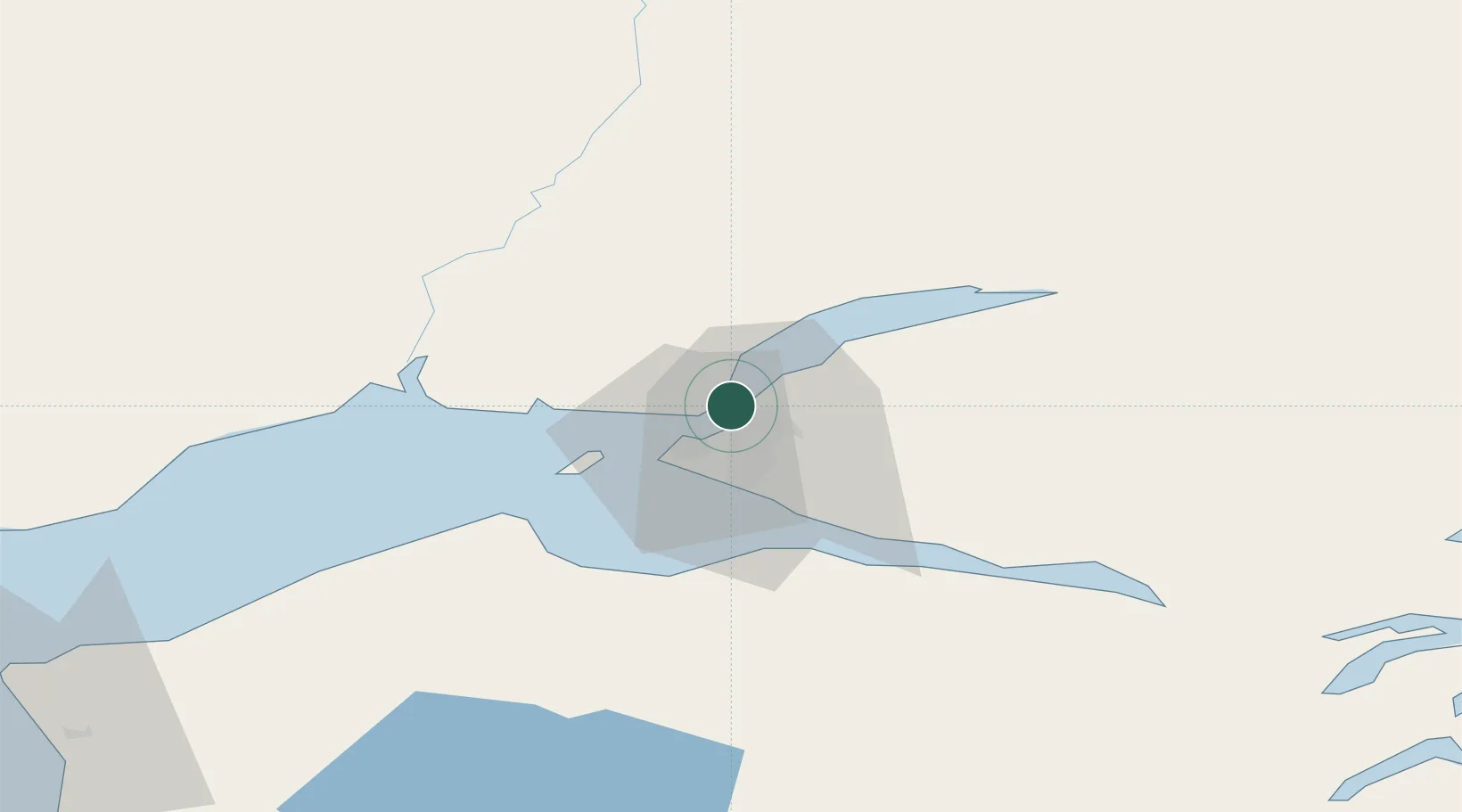
AK
Location
Nearby Logistics Neighbours
Cities
- 1Anchorage4 km
- 2Elmendorf Air Force Base7 km
- 3Houston41 km
- 4Susitna43 km
- 5Valdez194 km
Airports
- 1Elmendorf Air Force Base6 km
- 2Merrill Field7 km
- 3Ted Stevens Anchorage International Airport11 km
- 4Birchwood Airport28 km
- 5Wasilla Airport39 km
Trade Zones
- 1FTZ No. 160 Anchorage3 km
- 2FTZ No. 108 Valdez191 km
- 3FTZ No. 195 Fairbanks413 km
- 4FTZ No. 232 Kodiak472 km
- 5PrInce George Logistics Park1796 km
DatabookThe Record of Consolidated Knowledge
United States beyond logistics?