Small airport · United States
Seldovia AirportPASO
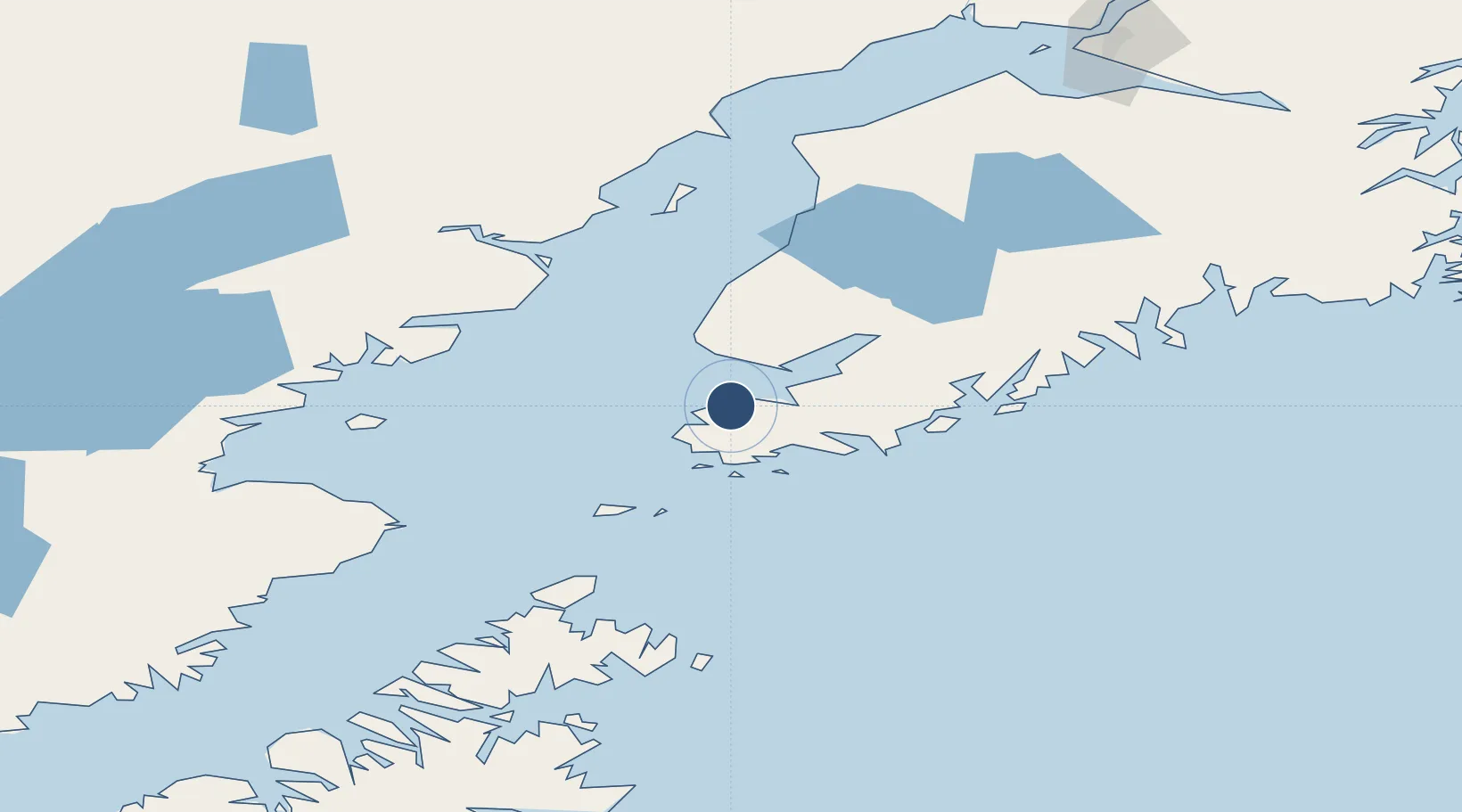
59.4430°, -151.7052°
1,845 ft
Longest runway
1
Runways
29 ft
Elevation
Runway & Layout

Runways · 1
| Runway | Dimensions | Surface | True heading | Lit |
|---|---|---|---|---|
| 16/34 | 1,845 × 80ft | GRVL-G | — | — |
Airport Specifications
IATA code
SOV
ICAO code
PASO
Airport class
Small airport
Scheduled service
Yes
Runway surface
GRVL-G
Served city
Seldovia
Location
Nearby Logistics Neighbours
Airports
- 1Port Graham Airport13 km
- 2Nanwalek Airport16 km
- 3Homer Airport26 km
- 4Port Williams Seaplane Base117 km
- 5Soldotna Airport121 km
Cities
- 1Jakolof Bay11 km
- 2Afognak172 km
- 3Anchorage223 km
- 4Port MacKenzie225 km
- 5Elmendorf Air Force Base227 km
Ports
- 1Seldovia2 km
- 2Port Graham12 km
- 3Homer24 km
- 4Ninilchik68 km
- 5Port William118 km
Trade Zones
- 1FTZ No. 160 Anchorage223 km
- 2FTZ No. 232 Kodiak247 km
- 3FTZ No. 108 Valdez349 km
- 4FTZ No. 195 Fairbanks635 km
- 5PrInce George Logistics Park1855 km
DatabookThe Record of Consolidated Knowledge
United States beyond logistics?