Medium airport · United States
Soldotna AirportPASX
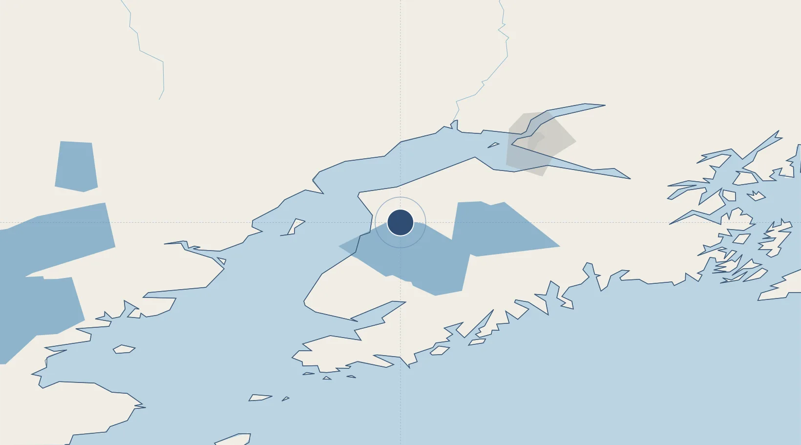
60.4749°, -151.0385°
5,001 ft
Longest runway
1
Runways
113 ft
Elevation
Runway & Layout

Radio Frequencies
AWOS
135.45 MHz
AWOS 3
CTAF
122.5 MHz
CNTR
125.7 MHz
ANCHORAGE CNTR
FSS
122.35 MHz
KENAI RDO
MISC
117.6 MHz
TWEB
Navaids
OLT NDB-DME Soldotna 0.35 MHz
Runways · 1
| Runway | Dimensions | Surface | True heading | Lit |
|---|---|---|---|---|
| 07/25 | 5,001 × 130ft | Asphalt | 090° | ✓ |
Airport Specifications
IATA code
SXQ
ICAO code
PASX
Airport class
Medium airport
Scheduled service
No
Runway surface
Asphalt
Served city
Soldotna
Location
Nearby Logistics Neighbours
Airports
- 1Kenai Municipal Airport16 km
- 2Homer Airport96 km
- 3Ted Stevens Anchorage International Airport97 km
- 4Seward Airport97 km
- 5Merrill Field105 km
Cities
- 1Anchorage105 km
- 2Port MacKenzie107 km
- 3Elmendorf Air Force Base109 km
- 4Jakolof Bay117 km
- 5Susitna121 km
Ports
- 1Kenai15 km
- 2Nikiski30 km
- 3Ninilchik59 km
- 4Drift River61 km
- 5Seward98 km
Trade Zones
- 1FTZ No. 160 Anchorage105 km
- 2FTZ No. 108 Valdez264 km
- 3FTZ No. 232 Kodiak366 km
- 4FTZ No. 195 Fairbanks515 km
- 5PrInce George Logistics Park1835 km
DatabookThe Record of Consolidated Knowledge
United States beyond logistics?