Channel & Berth Profile
Pilotage, Tugs & Services
Pilotage availableYES
Tug assistanceYES
Potable waterYES
Diesel bunkersYES
Facilities & Capabilities
Container—
Ro-Ro—
Liquid bulk—
Dry bulk—
Oil terminal—
Break bulk—
Dry dock—
RepairsNO
BunkeringYES
Rail link—
Dangerous cargo—
ISPS security—
Harbour Specifications
Harbour size
Very Small
Harbour type
Coastal (Natural)
Shelter
Fair
Water body
Cook Inlet; Gulf of Alaska; North Pacific Ocean
Tidal range
5.5 m
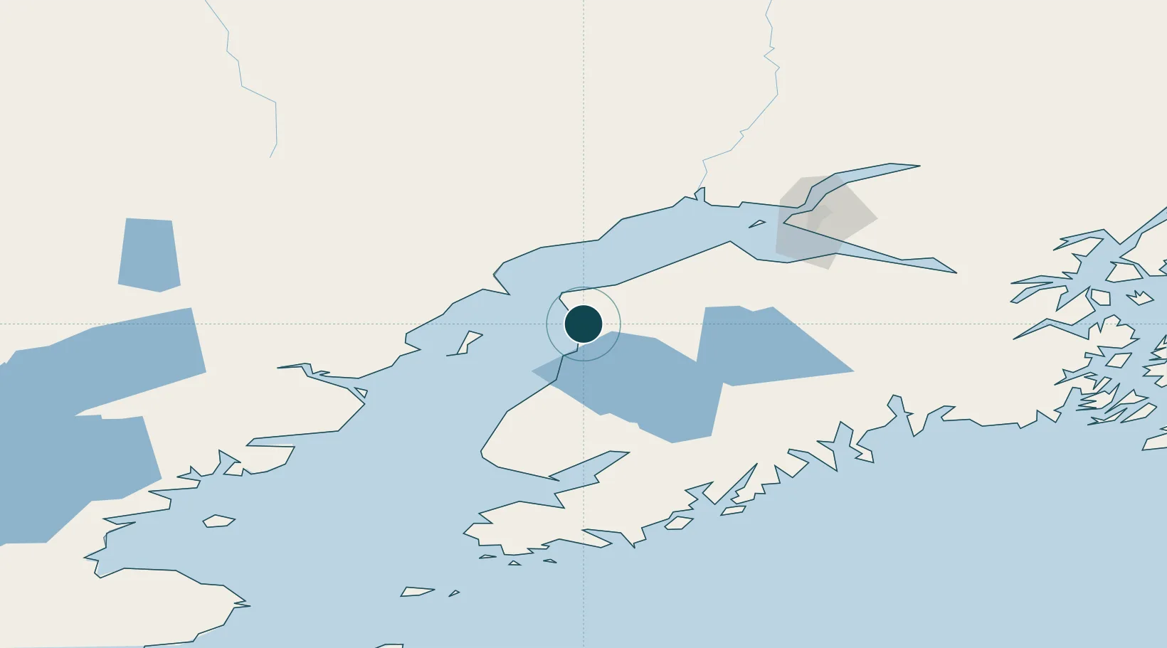
Location
Nearby Logistics Neighbours
Ports
- 1Nikiski17 km
- 2Drift River47 km
- 3Ninilchik60 km
- 4Anchorage105 km
- 5Homer106 km
Cities
- 1Anchorage107 km
- 2Port MacKenzie108 km
- 3Elmendorf Air Force Base111 km
- 4Susitna117 km
- 5Jakolof Bay123 km
Airports
- 1Kenai Municipal Airport3 km
- 2Soldotna Airport15 km
- 3Ted Stevens Anchorage International Airport98 km
- 4Homer Airport101 km
- 5Merrill Field107 km
Trade Zones
- 1FTZ No. 160 Anchorage107 km
- 2FTZ No. 108 Valdez274 km
- 3FTZ No. 232 Kodiak369 km
- 4FTZ No. 195 Fairbanks511 km
- 5PrInce George Logistics Park1849 km
DatabookThe Record of Consolidated Knowledge
United States beyond logistics?