UN/LOCODE hub · United States
USZC7

Elmendorf Air Force Base

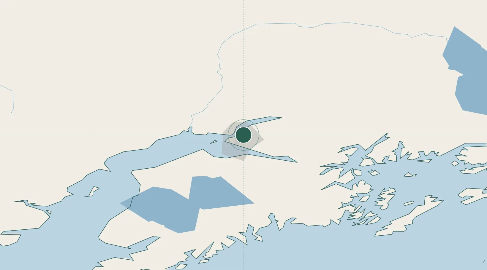
61.2500°, -149.8000°
6,621
Population
2
Transport functions

Transport Functions

Road
Multimodal
UN/LOCODE

Hub Profile

Place type
Populated place
GeoNames
Region
Alaska
GeoNames
Population
6,621
GeoNames
Time zone
America/Anchorage
GeoNames
Elevation
185 m
GeoNames

Location

Location of USZC7
Natural Earth 10m (public domain) · Alaska · USZC7 · 61.25, -149.80GoogleOSMYandex

Nearby Logistics Neighbours

Cities
  1. 1Anchorage5 km
  2. 2Port MacKenzie7 km
  3. 3Houston43 km
  4. 4Susitna49 km
  5. 5Valdez188 km
Nearest neighbours — logibook spatial index (haversine) over the source coordinates
Ports
  1. 1Anchorage7 km
  2. 2Whittier79 km
  3. 3Nikiski107 km
  4. 4Kenai111 km
  5. 5Seward129 km
Nearest neighbours — logibook spatial index (haversine) over the source coordinates
Airports
  1. 1Elmendorf Air Force Base0 km
  2. 2Merrill Field5 km
  3. 3Ted Stevens Anchorage International Airport13 km
  4. 4Birchwood Airport24 km
  5. 5Wasilla Airport38 km
Nearest neighbours — logibook spatial index (haversine) over the source coordinates
Trade Zones
  1. 1FTZ No. 160 Anchorage5 km
  2. 2FTZ No. 108 Valdez185 km
  3. 3FTZ No. 195 Fairbanks413 km
  4. 4FTZ No. 232 Kodiak474 km
  5. 5PrInce George Logistics Park1789 km
Nearest neighbours — logibook spatial index (haversine) over the source coordinates
DatabookThe Record of Consolidated Knowledge
United States beyond logistics?
Browse databook

All Sources

LocationsUN/LOCODE
UN/LOCODE — free
LocationsGeoNames
CC BY 4.0
Portsthe NGA World Port Index
Public domain (US gov)
AirportsOurAirports
Public domain
Trade Zonesthe World Bank SEZ database
CC BY 4.0
Trade ZonesOpen Zone Map
CC BY
← United States locations