Medium airport · United States
Kenai Municipal AirportPAEN
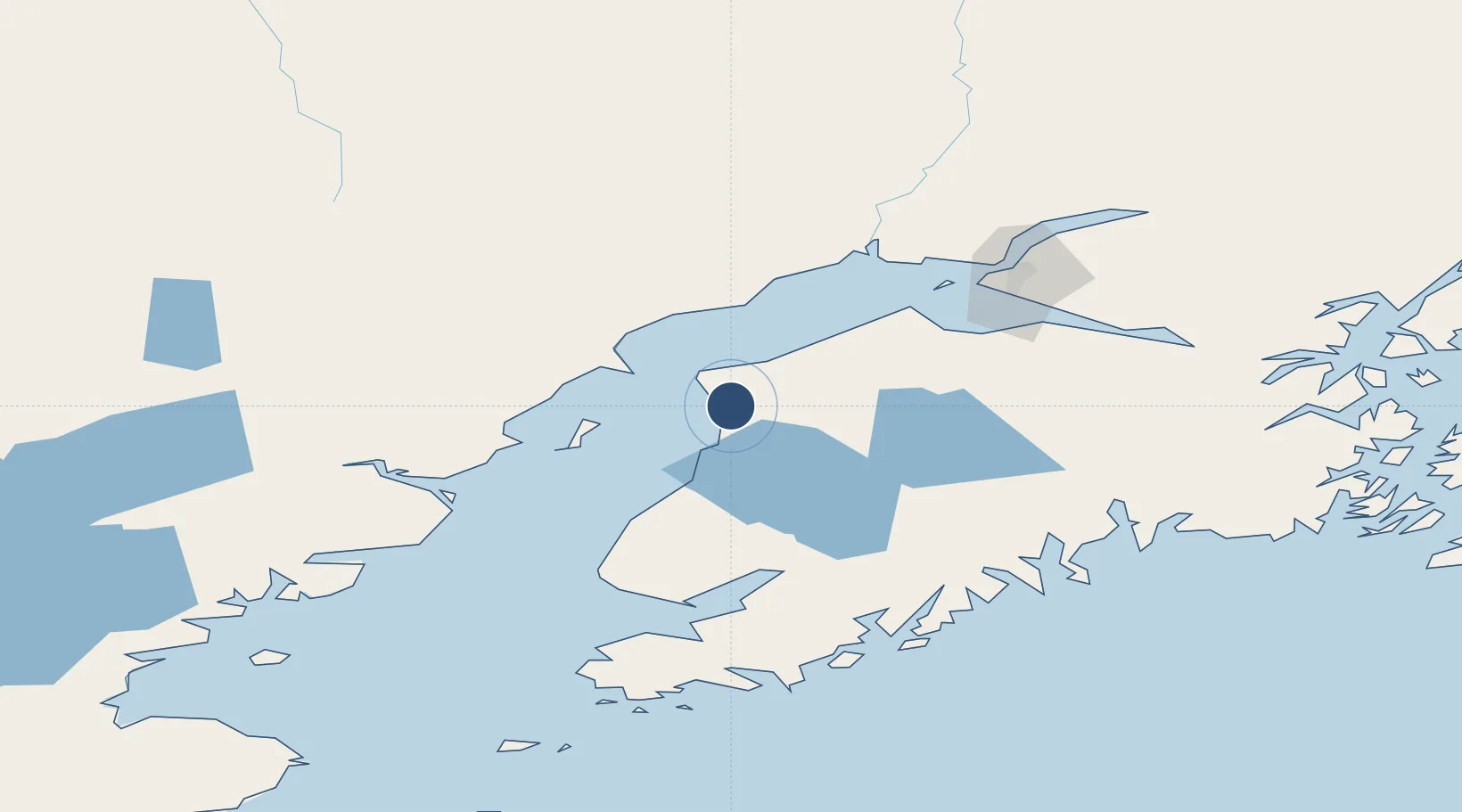
60.5709°, -151.2452°
7,855 ft
Longest runway
3
Runways
99 ft
Elevation
Runway & Layout

Radio Frequencies
ATIS
133.35 MHz
TWR
121.3 MHz
GND
118.75 MHz
CTAF
121.3 MHz
CNTR
125.7 MHz
ANCHORAGE CNTR
FSS
122.65 MHz
RDO
Military tower
239.3 MHz
Mill center
379.1 MHz
MISC
117.6 MHz
TWEB
Navaids
ENA VOR-DME Kenai 117.60 MHz
IWW NDB Wildwood 379 kHz
Runways · 3
| Runway | Dimensions | Surface | True heading | Lit |
|---|---|---|---|---|
| 02L/20R | 7,855 × 150ft | Asphalt | 031° | ✓ |
| 2W/20W | 4,600 × 240ft | WATER-E | — | — |
| 02R/20L | 1,980 × 75ft | Gravel | 031° | — |
Airport Specifications
IATA code
ENA
ICAO code
PAEN
Airport class
Medium airport
Scheduled service
Yes
Runway surface
Asphalt
Served city
Kenai
Location
Nearby Logistics Neighbours
Airports
- 1Soldotna Airport16 km
- 2Ted Stevens Anchorage International Airport96 km
- 3Homer Airport104 km
- 4Merrill Field104 km
- 5Elmendorf Air Force Base109 km
Cities
- 1Anchorage104 km
- 2Port MacKenzie106 km
- 3Elmendorf Air Force Base109 km
- 4Susitna114 km
- 5Jakolof Bay126 km
Ports
- 1Kenai3 km
- 2Nikiski15 km
- 3Drift River49 km
- 4Ninilchik63 km
- 5Anchorage102 km
Trade Zones
- 1FTZ No. 160 Anchorage104 km
- 2FTZ No. 108 Valdez272 km
- 3FTZ No. 232 Kodiak372 km
- 4FTZ No. 195 Fairbanks508 km
- 5PrInce George Logistics Park1848 km
DatabookThe Record of Consolidated Knowledge
United States beyond logistics?