Channel & Berth Profile
Pilotage, Tugs & Services
Pilotage availableYES
Tug assistanceYES
Shore powerYES
Potable waterYES
Diesel bunkersYES
MedicalYES
Garbage disposalYES
Facilities & Capabilities
Container—
Ro-Ro—
Liquid bulk—
Dry bulk—
Oil terminal—
Break bulk—
Dry dock—
Repairs—
BunkeringYES
Rail link—
Dangerous cargo—
ISPS security—
Harbour Specifications
Harbour size
Very Small
Harbour type
Coastal (Natural)
Shelter
Fair
Water body
Cook Inlet; Gulf of Alaska; North Pacific Ocean
Tidal range
8.5 m
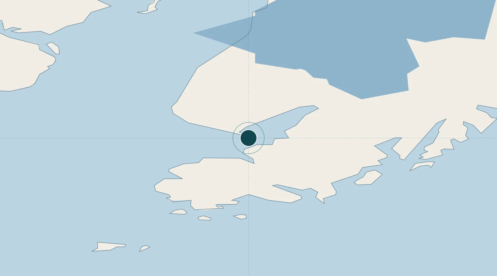
Location
Nearby Logistics Neighbours
Ports
- 1Seldovia26 km
- 2Port Graham36 km
- 3Ninilchik52 km
- 4Kenai106 km
- 5Drift River113 km
Cities
- 1Jakolof Bay18 km
- 2Afognak194 km
- 3Anchorage200 km
- 4Port MacKenzie203 km
- 5Elmendorf Air Force Base204 km
Airports
- 1Homer Airport6 km
- 2Seldovia Airport24 km
- 3Port Graham Airport36 km
- 4Nanwalek Airport40 km
- 5Soldotna Airport100 km
Trade Zones
- 1FTZ No. 160 Anchorage201 km
- 2FTZ No. 232 Kodiak270 km
- 3FTZ No. 108 Valdez326 km
- 4FTZ No. 195 Fairbanks614 km
- 5PrInce George Logistics Park1841 km
DatabookThe Record of Consolidated Knowledge
United States beyond logistics?