Medium airport · United States
Homer AirportPAHO
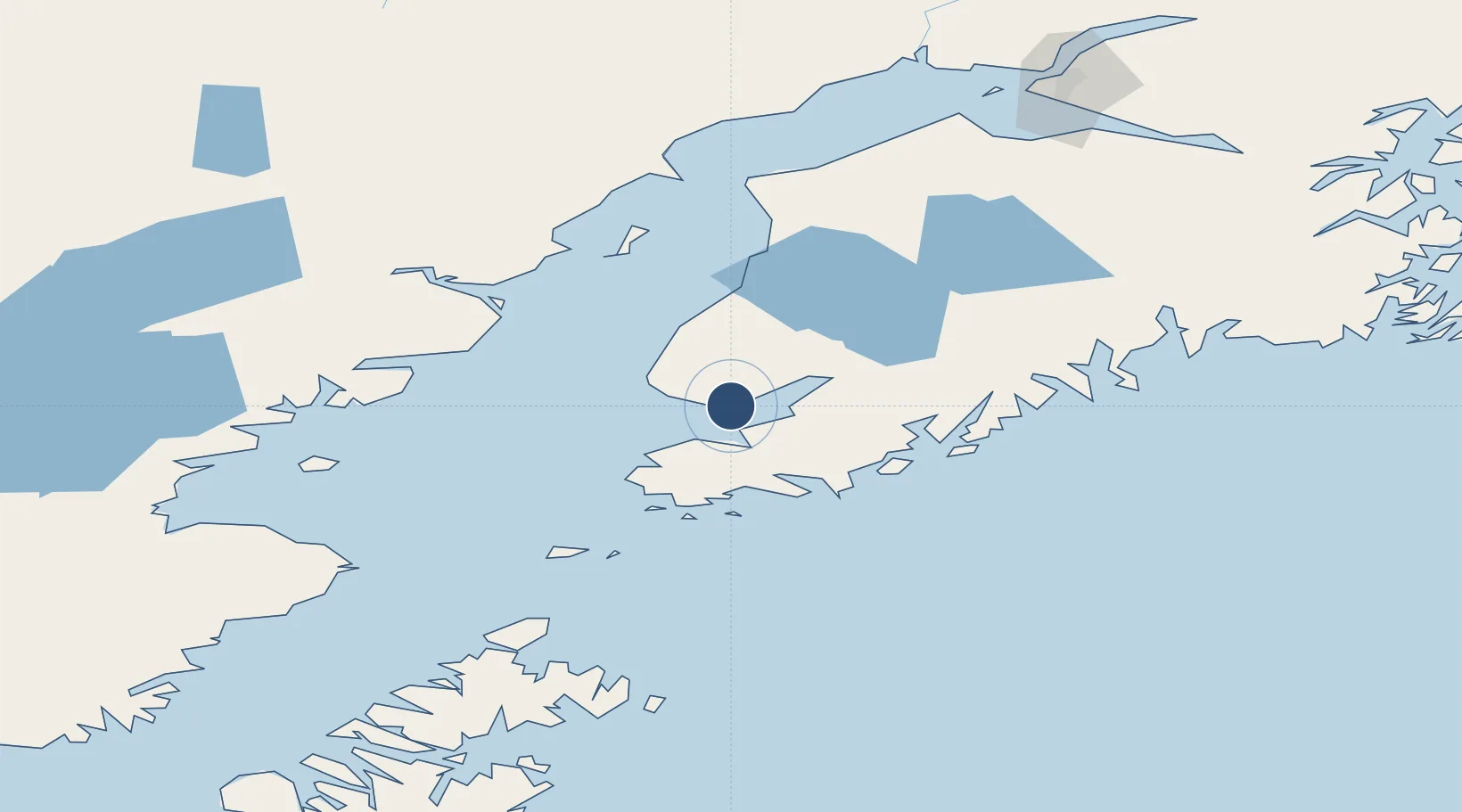
59.6445°, -151.4792°
6,701 ft
Longest runway
1
Runways
84 ft
Elevation
Runway & Layout

Radio Frequencies
ASOS
135.65 MHz
CTAF
123.6 MHz
CNTR
125.9 MHz
ANCHORAGE CNTR
FSS
123.6 MHz
RDO
MISC
114.6 MHz
TWEB
RFSS
123.6 MHz
KENAI RDO
UNIC
123.05 MHz
UNICOM
Navaids
ACE NDB Kachemak 277 kHz
HOM VOR-DME Homer 114.60 MHz
Runways · 1
| Runway | Dimensions | Surface | True heading | Lit |
|---|---|---|---|---|
| 04/22 | 6,701 × 150ft | Asphalt | 055° | ✓ |
Airport Specifications
IATA code
HOM
ICAO code
PAHO
Airport class
Medium airport
Scheduled service
Yes
Runway surface
Asphalt
Served city
Homer
Location
Nearby Logistics Neighbours
Airports
- 1Seldovia Airport26 km
- 2Port Graham Airport38 km
- 3Nanwalek Airport41 km
- 4Soldotna Airport96 km
- 5Kenai Municipal Airport104 km
Cities
- 1Jakolof Bay22 km
- 2Afognak197 km
- 3Anchorage197 km
- 4Port MacKenzie200 km
- 5Elmendorf Air Force Base201 km
Ports
- 1Homer6 km
- 2Seldovia28 km
- 3Port Graham38 km
- 4Ninilchik47 km
- 5Kenai101 km
Trade Zones
- 1FTZ No. 160 Anchorage198 km
- 2FTZ No. 232 Kodiak273 km
- 3FTZ No. 108 Valdez326 km
- 4FTZ No. 195 Fairbanks610 km
- 5PrInce George Logistics Park1845 km
DatabookThe Record of Consolidated Knowledge
United States beyond logistics?