Transport Functions
Port
Hub Profile
Place type
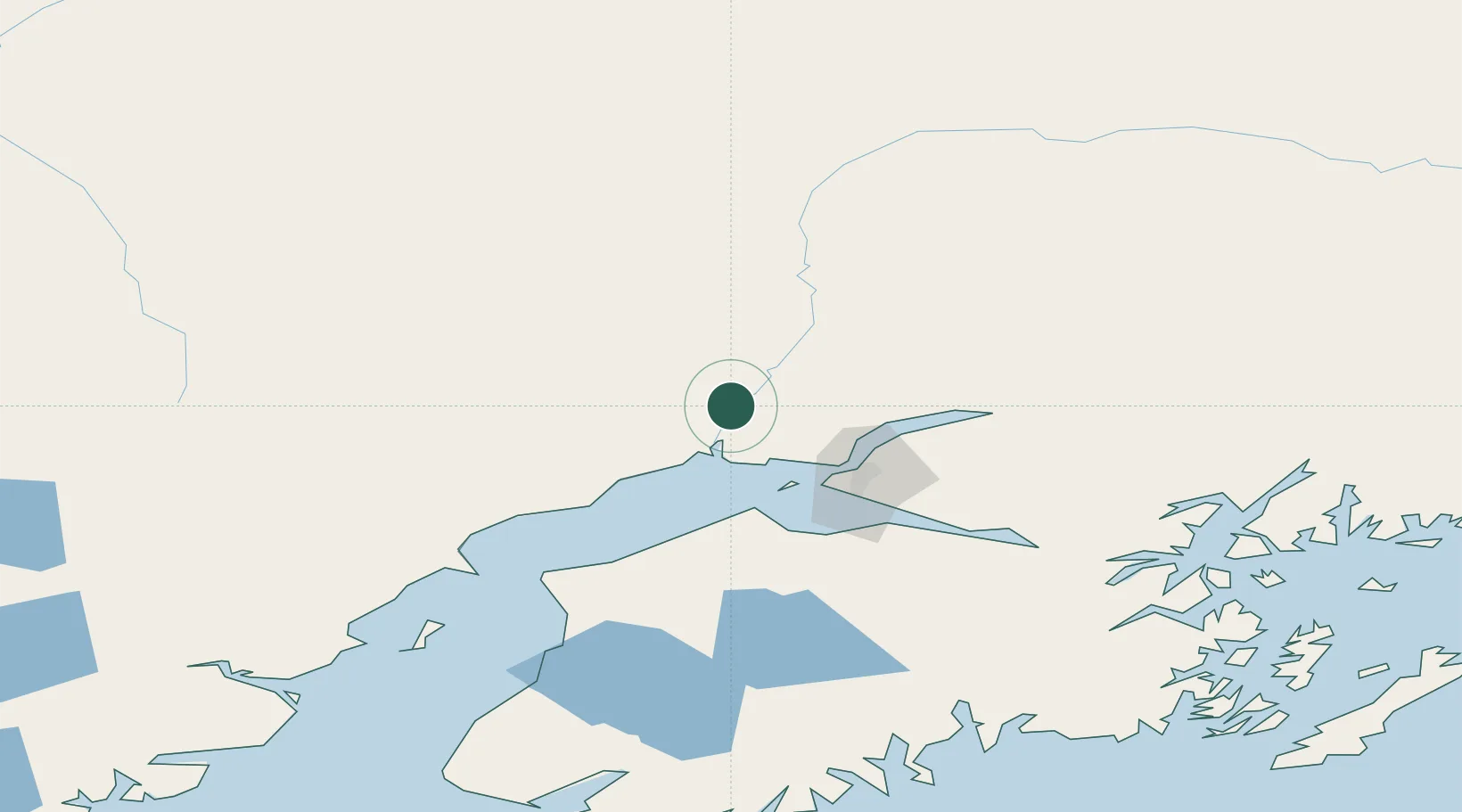
Populated place
Region
Alaska
Population
18
Time zone
America/Anchorage
Elevation
8 m
Location
Nearby Logistics Neighbours
Cities
- 1Houston38 km
- 2Port MacKenzie43 km
- 3Anchorage47 km
- 4Elmendorf Air Force Base49 km
- 5Valdez228 km
Ports
- 1Anchorage48 km
- 2Nikiski106 km
- 3Kenai117 km
- 4Whittier128 km
- 5Drift River140 km
Airports
- 1Ted Stevens Anchorage International Airport48 km
- 2Elmendorf Air Force Base48 km
- 3Merrill Field50 km
- 4Wasilla Airport51 km
- 5Birchwood Airport54 km
Trade Zones
- 1FTZ No. 160 Anchorage46 km
- 2FTZ No. 108 Valdez225 km
- 3FTZ No. 195 Fairbanks394 km
- 4FTZ No. 232 Kodiak486 km
- 5PrInce George Logistics Park1833 km
DatabookThe Record of Consolidated Knowledge
United States beyond logistics?