Channel & Berth Profile
Pilotage, Tugs & Services
Pilotage compulsoryYES
Pilotage availableYES
Pilotage advisableYES
Tug assistanceYES
Potable waterYES
Diesel bunkersYES
MedicalYES
Facilities & Capabilities
Container—
Ro-Ro—
Liquid bulk—
Dry bulk—
Oil terminal—
Break bulk—
Dry dockNO
RepairsNO
BunkeringYES
Rail linkYES
Dangerous cargo—
ISPS security—
Harbour Specifications
Harbour size
Medium
Harbour type
Coastal (Breakwater)
Shelter
Good
Water body
Alaska-Canada coastal waters; North Pacific Ocean
Tidal range
2 m
Overhead limit
Yes
Pilotage
Yes
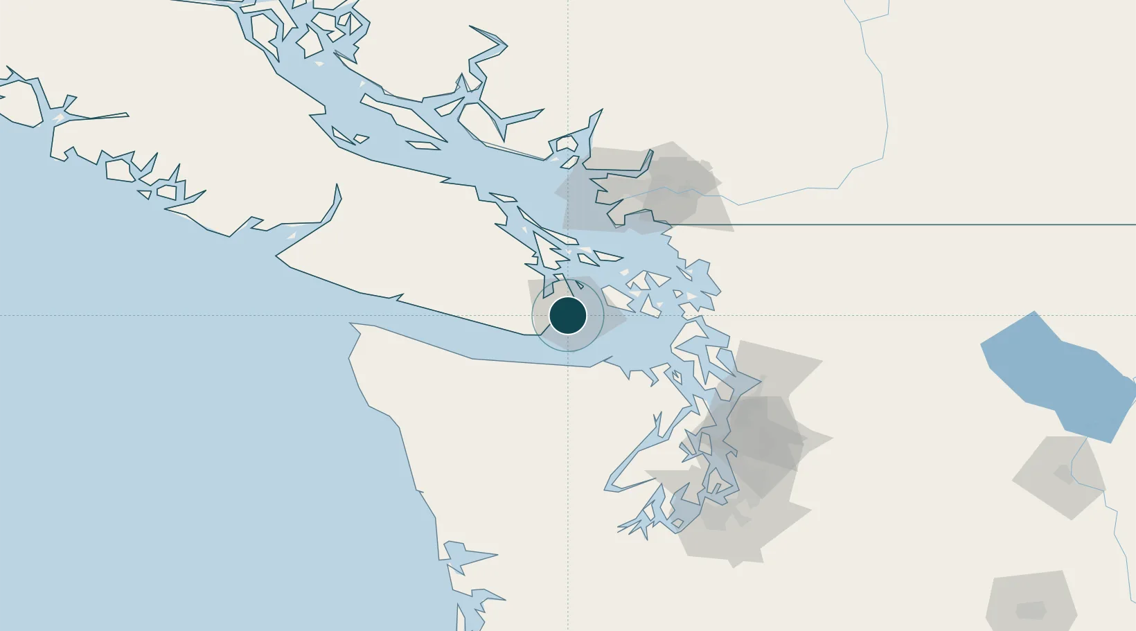
Location
Nearby Logistics Neighbours
Ports
- 1Bamberton16 km
- 2Sidney24 km
- 3Roche Harbor26 km
- 4Friday Harbor29 km
- 5Port Angeles35 km
Cities
- 1Brentwood Bay17 km
- 2Cobble Hill32 km
- 3Mengkofen42 km
- 4Duncan/Quam46 km
- 5Port Hadlock62 km
Airports
Trade Zones
- 1FTZ No. 129 Bellingham72 km
- 2FTZ No. 128 Whatcom County75 km
- 3FTZ Vancouver Island93 km
- 4FTZ No. 085 Everett99 km
- 5FTZ No. 005 Seattle113 km
DatabookThe Record of Consolidated Knowledge
Canada beyond logistics?