Runway & Layout

Airport Specifications
ICAO code
CBF7
Airport class
Heliport
Scheduled service
Yes
Served city
Victoria
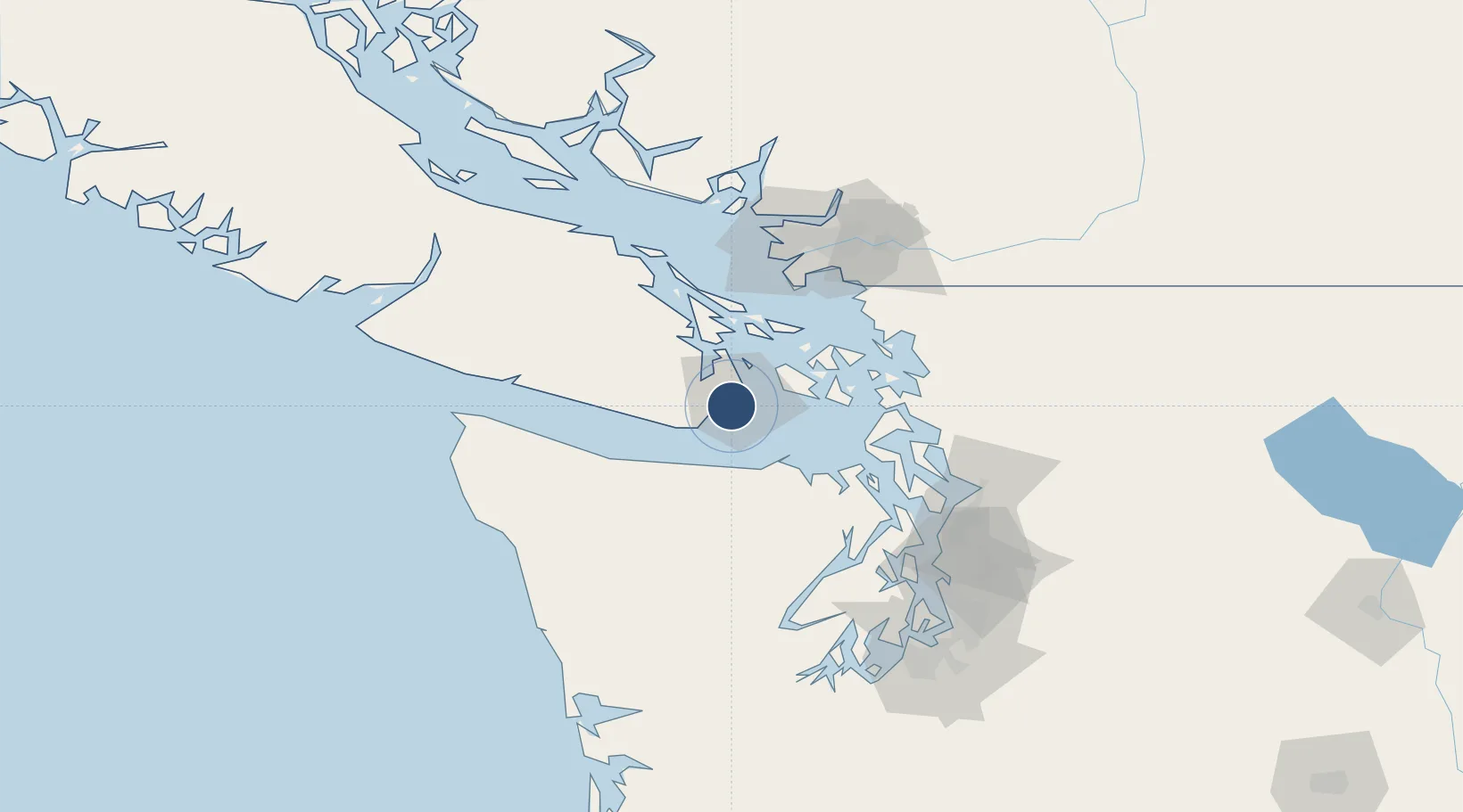
Location
Nearby Logistics Neighbours
Airports
Cities
- 1Victoria3 km
- 2Brentwood Bay19 km
- 3Cobble Hill33 km
- 4Mengkofen44 km
- 5Duncan/Quam47 km
Ports
- 1Victoria Harbor2 km
- 2Bamberton18 km
- 3Sidney26 km
- 4Roche Harbor27 km
- 5Friday Harbor30 km
Trade Zones
- 1FTZ No. 129 Bellingham73 km
- 2FTZ No. 128 Whatcom County76 km
- 3FTZ Vancouver Island94 km
- 4FTZ No. 085 Everett98 km
- 5FTZ No. 005 Seattle112 km
DatabookThe Record of Consolidated Knowledge
Canada beyond logistics?