Runway & Layout

Airport Specifications
ICAO code
CAP5
Airport class
Seaplane base
Scheduled service
Yes
Served city
Victoria
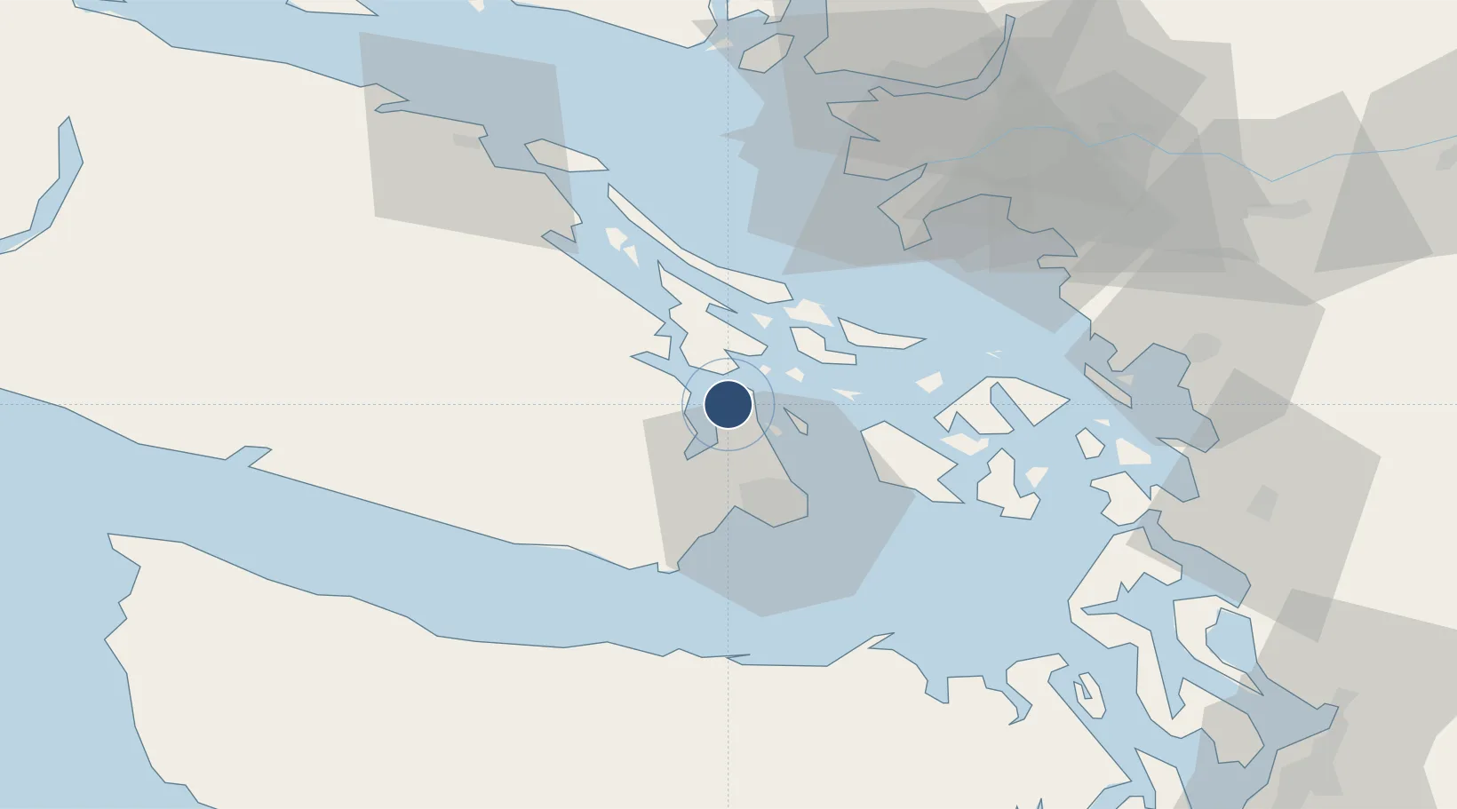
Location
Nearby Logistics Neighbours
Airports
Cities
- 1Brentwood Bay8 km
- 2Cobble Hill12 km
- 3Duncan/Quam24 km
- 4Victoria26 km
- 5Mengkofen34 km
Ports
- 1Sidney5 km
- 2Bamberton13 km
- 3Cowichan Bay16 km
- 4Roche Harbor21 km
- 5Ganges22 km
Trade Zones
- 1FTZ No. 129 Bellingham68 km
- 2FTZ No. 128 Whatcom County69 km
- 3FTZ Vancouver Island70 km
- 4FTZ No. 085 Everett116 km
- 5FTZ No. 005 Seattle136 km
DatabookThe Record of Consolidated Knowledge
Canada beyond logistics?