Medium airport · United States
William R Fairchild International AirportKCLM
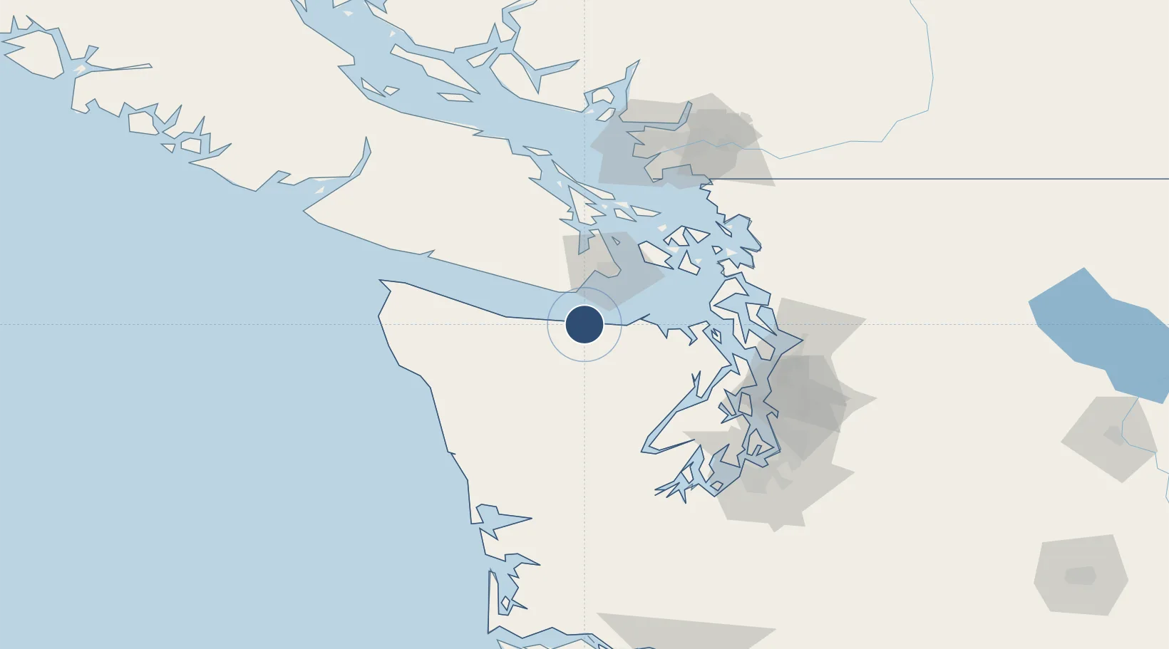
48.1202°, -123.5000°
6,347 ft
Longest runway
2
Runways
291 ft
Elevation
Runway & Layout

Radio Frequencies
ASOS
135.175 MHz
CLD
124.15 MHz
CLNC DEL
A/D
118.2 MHz
WHIDBEY APP/DEP
RDO
122.6 MHz
SEATTLE RDO
UNIC
123 MHz
CTAF/UNICOM
Navaids
CL NDB Elwha 515 kHz
Runways · 2
| Runway | Dimensions | Surface | True heading | Lit |
|---|---|---|---|---|
| 09/27 | 6,347 × 150ft | Asphalt | 105° | ✓ |
| 13/31 | 3,255 × 50ft | Asphalt | 148° | ✓ |
Airport Specifications
IATA code
CLM
ICAO code
KCLM
Airport class
Medium airport
Scheduled service
No
Runway surface
Asphalt
Served city
Port Angeles
Location
Nearby Logistics Neighbours
Airports
Cities
- 1Victoria37 km
- 2Belfair49 km
- 3Brentwood Bay52 km
- 4Port Hadlock56 km
- 5Clallam Bay59 km
Ports
- 1Port Angeles5 km
- 2Victoria Harbor36 km
- 3Bamberton48 km
- 4Port Townsend56 km
- 5Friday Harbor58 km
Trade Zones
- 1FTZ No. 005 Seattle95 km
- 2FTZ No. 085 Everett96 km
- 3FTZ No. 129 Bellingham100 km
- 4FTZ No. 128 Whatcom County104 km
- 5FTZ No. 212 Tacoma121 km
DatabookThe Record of Consolidated Knowledge
United States beyond logistics?