Transport Functions
Rail
Road
Hub Profile
Place type
Populated place
Region
British Columbia
Time zone
America/Vancouver
Elevation
91 m
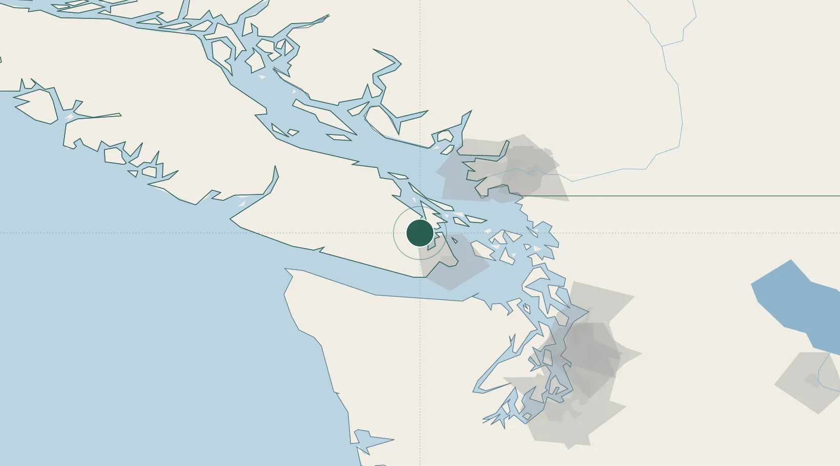
Location
Nearby Logistics Neighbours
Cities
- 1Duncan/Quam14 km
- 2Brentwood Bay16 km
- 3Victoria33 km
- 4Thetis Island34 km
- 5Mengkofen44 km
Ports
- 1Cowichan Bay8 km
- 2Bamberton16 km
- 3Sidney16 km
- 4Ganges20 km
- 5Crofton21 km
Airports
Trade Zones
- 1FTZ Vancouver Island72 km
- 2FTZ No. 128 Whatcom County78 km
- 3FTZ No. 129 Bellingham79 km
- 4FTZ No. 085 Everett127 km
- 5FTZ No. 005 Seattle145 km
DatabookThe Record of Consolidated Knowledge
Canada beyond logistics?