Channel & Berth Profile
Pilotage, Tugs & Services
Pilotage compulsoryYES
Pilotage advisableYES
Tug assistanceYES
Shore powerYES
Potable waterYES
Diesel bunkersYES
MedicalYES
Garbage disposalNO
Facilities & Capabilities
Container—
Ro-Ro—
Liquid bulk—
Dry bulk—
Oil terminal—
Break bulk—
Dry dock—
RepairsNO
BunkeringYES
Rail linkYES
Dangerous cargo—
ISPS security—
Harbour Specifications
Harbour size
Small
Harbour type
Coastal (Natural)
Shelter
Good
Water body
Alaska-Canada coastal waters; North Pacific Ocean
Tidal range
1.2 m
Pilotage
Yes
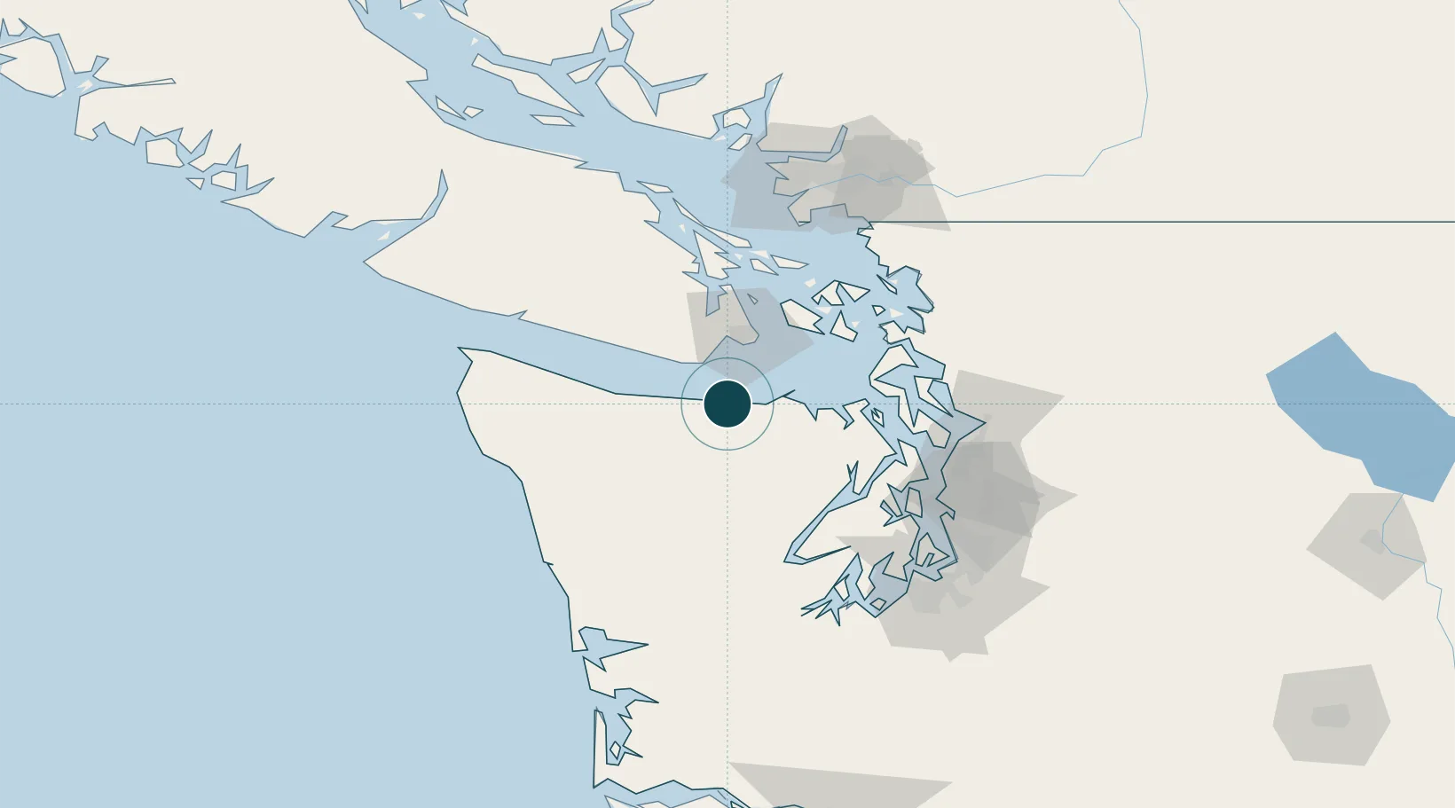
Location
Nearby Logistics Neighbours
Ports
- 1Victoria Harbor35 km
- 2Bamberton49 km
- 3Port Townsend51 km
- 4Friday Harbor56 km
- 5Coupeville57 km
Cities
- 1Victoria36 km
- 2Belfair48 km
- 3Port Hadlock51 km
- 4Brentwood Bay52 km
- 5Port Ludlow60 km
Airports
Trade Zones
- 1FTZ No. 005 Seattle90 km
- 2FTZ No. 085 Everett91 km
- 3FTZ No. 129 Bellingham97 km
- 4FTZ No. 128 Whatcom County101 km
- 5FTZ No. 212 Tacoma118 km
DatabookThe Record of Consolidated Knowledge
United States beyond logistics?