Seaport · United States
Fall RiverUSFAV
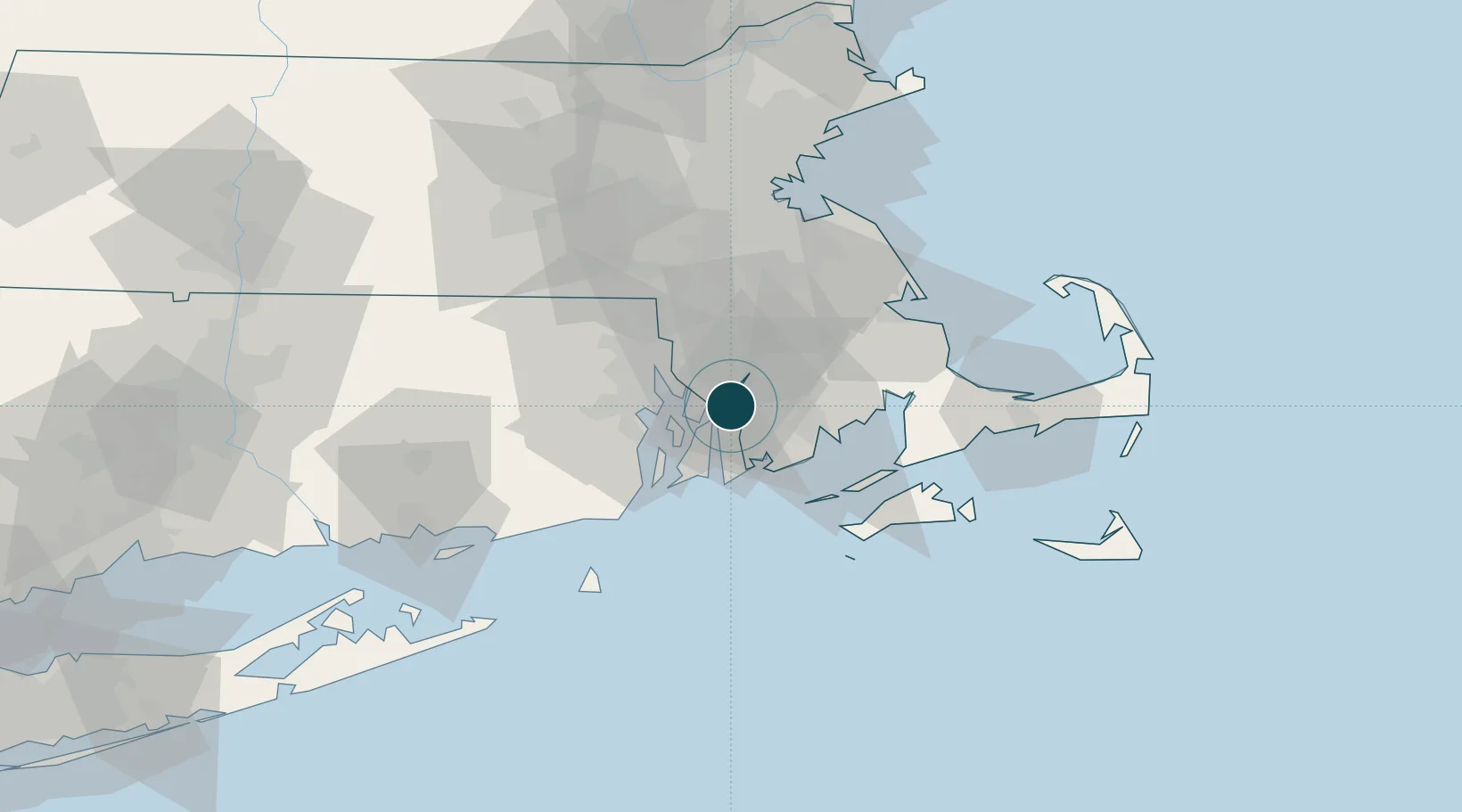
41.7000°, -71.1667°
9.4 m
Channel depth
7.9
Port liner connectivity
Channel & Berth Profile
Pilotage, Tugs & Services
Pilotage compulsoryYES
Tug assistanceYES
Shore powerYES
Potable waterYES
Diesel bunkersYES
MedicalYES
Facilities & Capabilities
Container—
Ro-Ro—
Liquid bulk—
Dry bulk—
Oil terminal—
Break bulk—
Dry dock—
RepairsNO
BunkeringYES
Rail linkYES
Dangerous cargo—
ISPS security—
Harbour Specifications
Harbour size
Very Small
Harbour type
Coastal (Natural)
Shelter
Excellent
Water body
North Atlantic Ocean
Tidal range
1.2 m
Overhead limit
Yes
Pilotage
Yes
Liner Connectivity
7.9
PLSCI
Port Liner Shipping Connectivity Index for Fall River, as published by UNCTAD for the latest available quarter. Higher values indicate stronger scheduled liner-shipping integration.
Shown relative to the highest per-port PLSCI in the dataset (1,657.9).
Location
Nearby Logistics Neighbours
Ports
- 1Tiverton9 km
- 2Bristol9 km
- 3Davisville Depot22 km
- 4New Bedford22 km
- 5Providence22 km
Cities
- 1Brayton Point1 km
- 2Somerset4 km
- 3Swansea6 km
- 4Riverside17 km
- 5North Dartmouth18 km
Airports
Trade Zones
DatabookThe Record of Consolidated Knowledge
United States beyond logistics?