Large airport · United States
Rhode Island T. F. Green International AirportKPVD
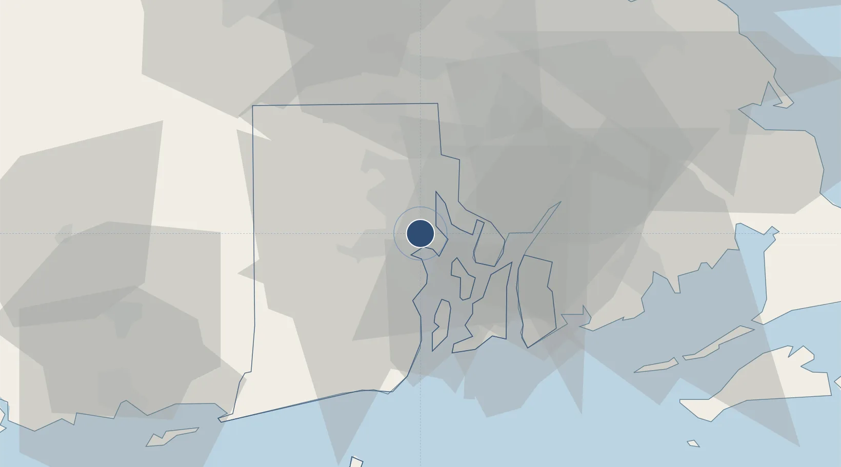
41.7250°, -71.4257°
8,700 ft
Longest runway
2
Runways
55 ft
Elevation
Runway & Layout

Radio Frequencies
ATIS
124.2 MHz
TWR
120.7 MHz
PROVIDENCE TWR
GND
121.9 MHz
PROVIDENCE GND
CLD
126.65 MHz
CLNC DEL
CTAF
120.7 MHz
A/D
135.4 MHz
PROVIDENCE APP/DEP
RDO
122.6 MHz
BRIDGEPORT RDO
Navaids
AR NDB Armin 356 kHz
PV NDB Rench 335 kHz
PVD VORTAC Providence 115.60 MHz
Runways · 2
| Runway | Dimensions | Surface | True heading | Lit |
|---|---|---|---|---|
| 05/23 | 8,700 × 150ft | Asphalt | 032° | ✓ |
| 16/34 | 6,081 × 150ft | Asphalt | 142° | ✓ |
Airport Specifications
IATA code
PVD
ICAO code
KPVD
Airport class
Large airport
Scheduled service
Yes
Runway surface
Asphalt
Served city
Providence/Warwick
Location
Nearby Logistics Neighbours
Airports
- 1Quonset State Airport14 km
- 2Newport State Airport25 km
- 3New Bedford Regional Airport39 km
- 4Westerly State Airport52 km
- 5Norwood Memorial Airport56 km
Cities
- 1Riverside8 km
- 2Fiskeville10 km
- 3Rumford15 km
- 4Saylesville18 km
- 5Exeter20 km
Ports
- 1Providence9 km
- 2Davisville Depot12 km
- 3Bristol15 km
- 4Quonset Point16 km
- 5Tiverton20 km
Trade Zones
DatabookThe Record of Consolidated Knowledge
United States beyond logistics?