Transport Functions
Road
Multimodal
Hub Profile
Place type
Populated place
Region
Massachusetts
Population
5,213
Time zone
America/New_York
Elevation
9 m
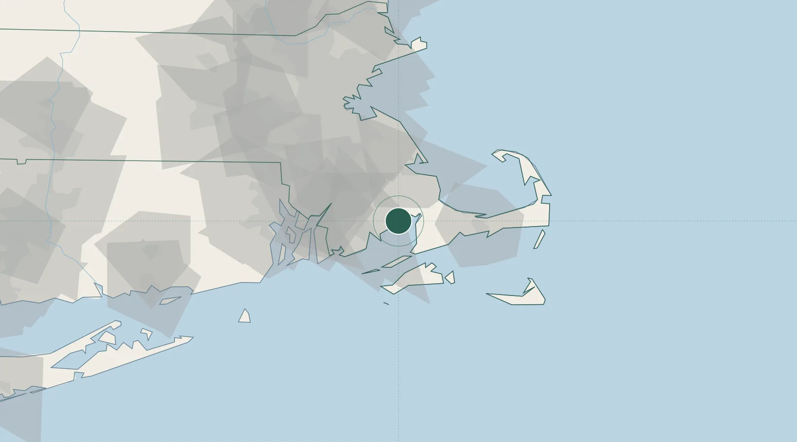
Location
Nearby Logistics Neighbours
Cities
- 1Buzzards Bay12 km
- 2Cataumet12 km
- 3New Bedford17 km
- 4East Freetown18 km
- 5North Dartmouth20 km
Ports
- 1New Bedford16 km
- 2Falmouth20 km
- 3Woods Hole22 km
- 4Plymouth29 km
- 5Vineyard Haven31 km
Airports
Trade Zones
- 1FTZ No. 028 New Bedford21 km
- 2FTZ No. 105 Providence and North Kingstown60 km
- 3FTZ No. 027 Boston75 km
- 4FTZ No. 208 New London119 km
- 5FTZ No. 081 Portsmouth151 km
DatabookThe Record of Consolidated Knowledge
United States beyond logistics?