Transport Functions
Port
Multimodal
Hub Profile
Place type
Populated place
Region
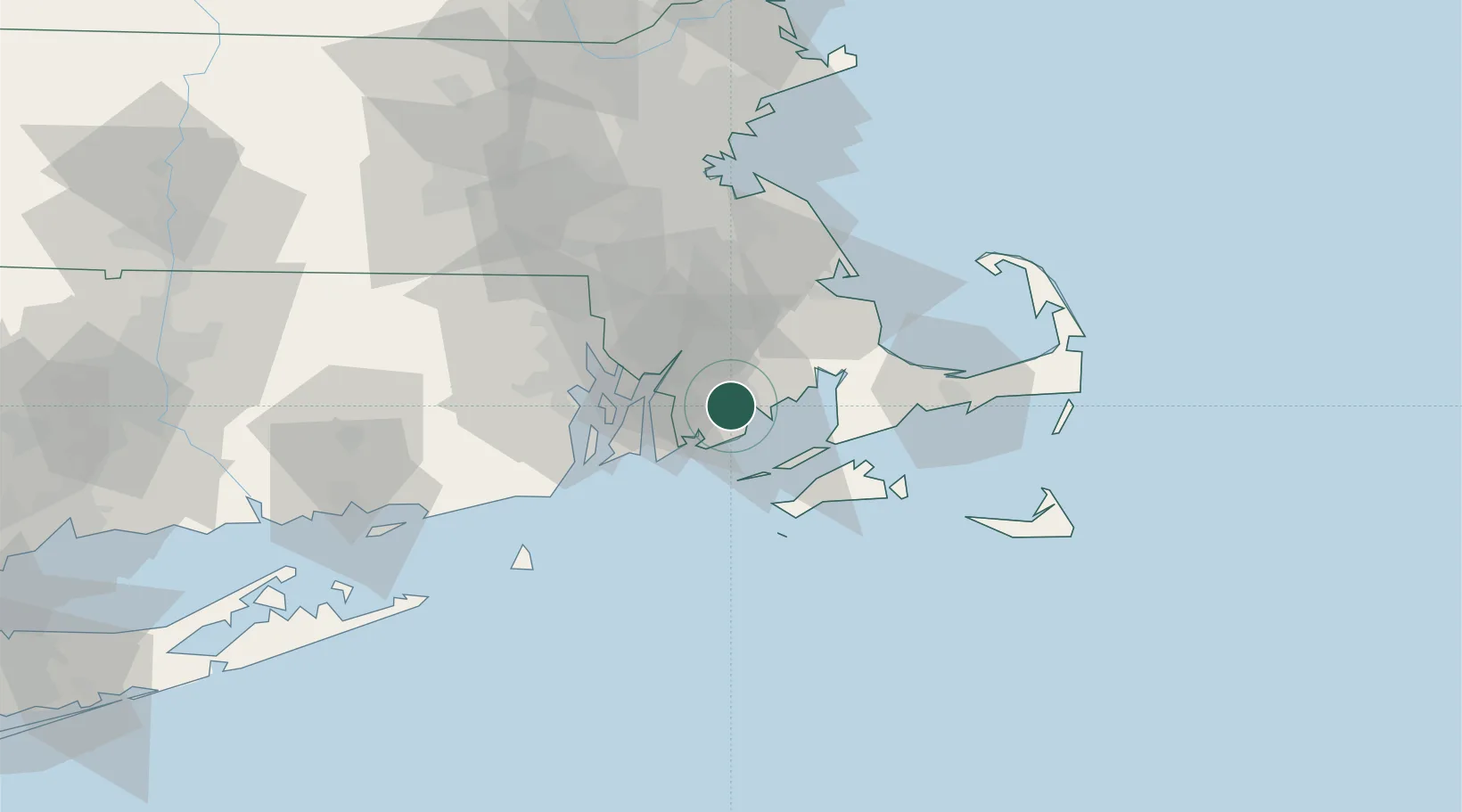
Massachusetts
Time zone
America/New_York
Elevation
48 m
Location
Nearby Logistics Neighbours
Cities
- 1New Bedford3 km
- 2South Dartmouth6 km
- 3East Freetown15 km
- 4Fall River18 km
- 5Brayton Point20 km
Ports
- 1New Bedford4 km
- 2Fall River18 km
- 3Tiverton21 km
- 4Bristol25 km
- 5Woods Hole28 km
Airports
Trade Zones
DatabookThe Record of Consolidated Knowledge
United States beyond logistics?