Channel & Berth Profile
Pilotage, Tugs & Services
Pilotage compulsoryYES
Tug assistanceYES
Salvage tugsNO
Potable waterYES
Diesel bunkersYES
MedicalYES
Garbage disposalYES
Facilities & Capabilities
Container—
Ro-Ro—
Liquid bulk—
Dry bulk—
Oil terminal—
Break bulk—
Dry dock—
RepairsNO
Bunkering—
Rail linkYES
Dangerous cargo—
ISPS security—
Harbour Specifications
Harbour size
Very Small
Harbour type
Coastal (Natural)
Shelter
Good
Water body
North Atlantic Ocean
Tidal range
1.2 m
Pilotage
Yes
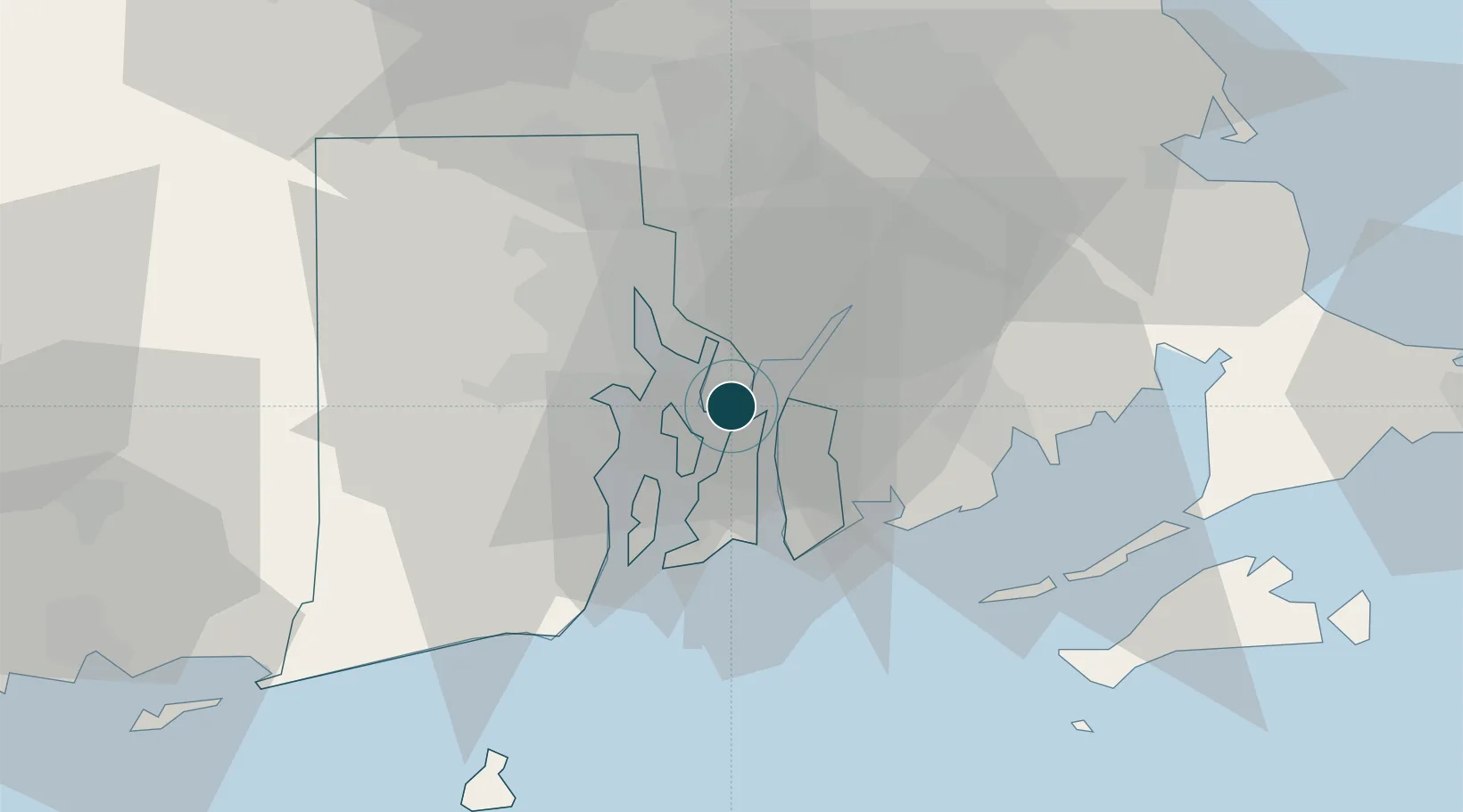
Location
Nearby Logistics Neighbours
Ports
- 1Tiverton6 km
- 2Fall River9 km
- 3Davisville Depot12 km
- 4Quonset Point14 km
- 5Providence19 km
Cities
- 1Brayton Point8 km
- 2Fall River9 km
- 3Somerset11 km
- 4Swansea12 km
- 5Riverside13 km
Airports
Trade Zones
DatabookThe Record of Consolidated Knowledge
United States beyond logistics?