Medium airport · United States

Quonset State AirportKOQU
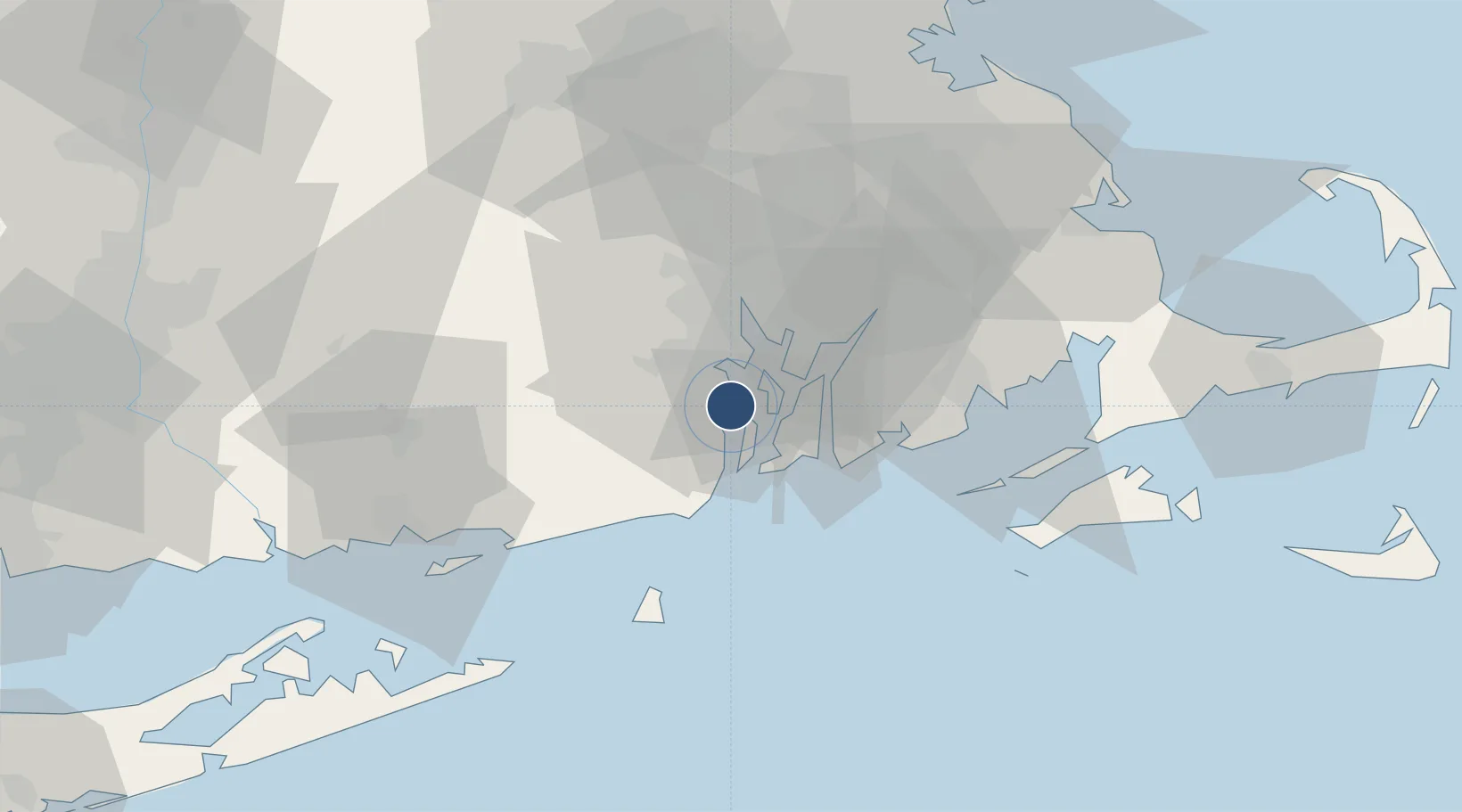
41.5971°, -71.4121°
7,000 ft
Longest runway
2
Runways
18 ft
Elevation

Runway & Layout

Quonset State Airport runway & taxiway layout
Runway & taxiway layout — OpenStreetMap (ODbL) / OurAirports

Radio Frequencies

TWR
126.35 MHz
GND
134.5 MHz
CTAF
126.35 MHz
A/D
135.4 MHz
PROVIDENCE APP/DEP
OPS
38.33 MHz
ANG OPS
POST
38.95 MHz
ARNG OPS
RDO
122.3 MHz
BRIDGEPORT RDO
UNIC
122.95 MHz
UNICOM
OurAirports

Runways · 2

RunwayDimensions SurfaceTrue headingLit
16/34 7,000 × 150ft Asphalt / concrete 145°
05/23 4,000 × 75ft Asphalt 034°
OurAirports

Airport Specifications

IATA code
NCO
OurAirports
ICAO code
KOQU
OurAirports
Airport class
Medium airport
OurAirports
Scheduled service
No
OurAirports
Runway surface
Asphalt / concrete
OurAirports
Served city
North Kingstown
OurAirports

Location

Location of KOQU
Natural Earth 10m (public domain) · Rhode Island · KOQU · 41.60, -71.41GoogleOSMYandex

Nearby Logistics Neighbours

Airports
  1. 1Newport State Airport13 km
  2. 2Rhode Island T. F. Green International Airport14 km
  3. 3New Bedford Regional Airport39 km
  4. 4Westerly State Airport43 km
  5. 5Block Island State Airport50 km
Nearest neighbours — logibook spatial index (haversine) over the source coordinates
Cities
  1. 1Exeter11 km
  2. 2Slocum13 km
  3. 3Middletown13 km
  4. 4West Kingston17 km
  5. 5Fiskeville19 km
Nearest neighbours — logibook spatial index (haversine) over the source coordinates
Ports
  1. 1Quonset Point2 km
  2. 2Davisville Depot2 km
  3. 3Newport13 km
  4. 4Bristol14 km
  5. 5Tiverton17 km
Nearest neighbours — logibook spatial index (haversine) over the source coordinates
Trade Zones
  1. 1FTZ No. 105 Providence and North Kingstown25 km
  2. 2FTZ No. 028 New Bedford35 km
  3. 3FTZ No. 208 New London63 km
  4. 4FTZ No. 027 Boston84 km
  5. 5FTZ No. 071 Windsor Locks108 km
Nearest neighbours — logibook spatial index (haversine) over the source coordinates
DatabookThe Record of Consolidated Knowledge
United States beyond logistics?
Browse databook

All Sources

AirportsOurAirports
Public domain
Portsthe NGA World Port Index
Public domain (US gov)
LocationsUN/LOCODE
UN/LOCODE — free
Trade Zonesthe World Bank SEZ database
CC BY 4.0
Trade ZonesOpen Zone Map
CC BY
InfrastructureOpenStreetMap
ODbL 1.0
← United States airports